SAVE CACHES FOR OFFLINE USE AREAS ON THE SCENIC DRIVE HAVE WEAK OR NO CELLPHONE RECEPTION
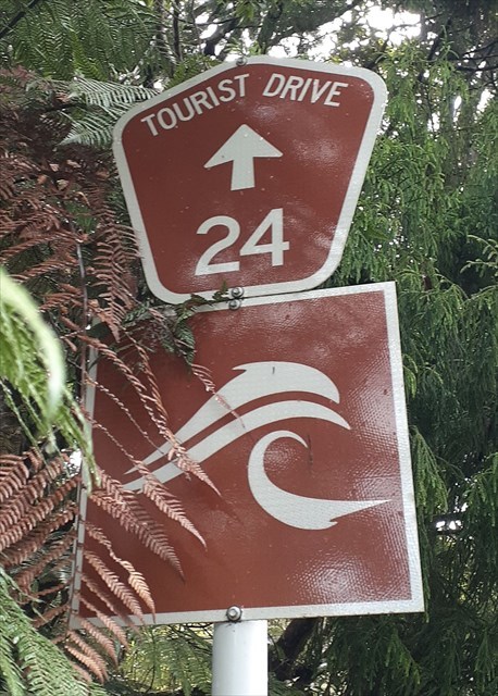
The Scenic Drive is also known as the Auckland Urban Route number 24.
The road was first constructed in the 1910s, opening in January 1914 as Exhibition Drive (named for the 1913-1914 Auckland Industrial, Agricultural and Mining Exhibition, held in the Domain on the site of the Wintergardens).
Later known as the Waitākere Scenic Drive, today its name shortened to the "Scenic Drive".
It is also part of the Twin Coast Discovery Highway.
On a fine day you are able glimpse some of the amazing views of the city and see the native trees that have grown since the roads creation.
If travelling between Titirangi to Swanson - parking is on right side of road.
This cache is hidden at one of the repair sites along the Scenic drive, for damage that occurred after one of the storm events in 2023.
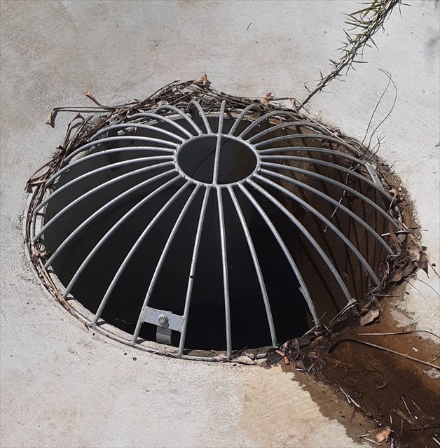
It is a shoulder slip repair, and is 30-metre-long, incorporating new drainage and a culvert.
If you have driven along the Scenic drive, between Shaw Road and West Coast Road, storm damage had caused ten shoulder slips.
Auckland Transport has provided an update of the damage along the Scenic drive, with repairs to date, and can be found by clicking/tapping HERE
Not only was there damage to roading, there was loss of power due to downed power lines, and no water supply, with broken water pipes and two watermains due to subsidence.
So that residents had access to water, water tankers were positioned along the Scenic drive.
Today the scars remain, and some sections along the Scenic drive are still waiting for a repair one year on:
- Near the former Elevation Cafe it is single lane and traffic light controlled.
- The road is closed from the West Coast road end (residents only).
- To visit the Arataki Visitor centre, access is via the Titirangi end.
- There is a large slip just beyond the Ruaotuwhenua driveway.
- A slip is near 1156
- And then there are the houses seen and unseen; a home was demolished at 1181 (an empty section), and the house next door red stickered.
This cache is not just about the damage to the road, and surrounding forest, it is for the many people and places that were impacted during these weather events in 2023:
- Cyclone Hale (10th - 11th January) downgraded to a tropical low/depression.
- Auckland Anniversary floods (27th January - 2nd February) described as a "atmospheric river", causing damage, and killed four people. This Wikipaedia page is a brief summary of what happened and can be found by clicking/tapping HERE
- Cyclone Gabrielle (10th - 15th February) a severe tropical cyclone that devastated parts of the North Island and killed 11 people.
This is drone footage of some of the slips along the Scenic drive, and can be found by clicking/tapping HERE and damage along the Nihotupu tramline HERE