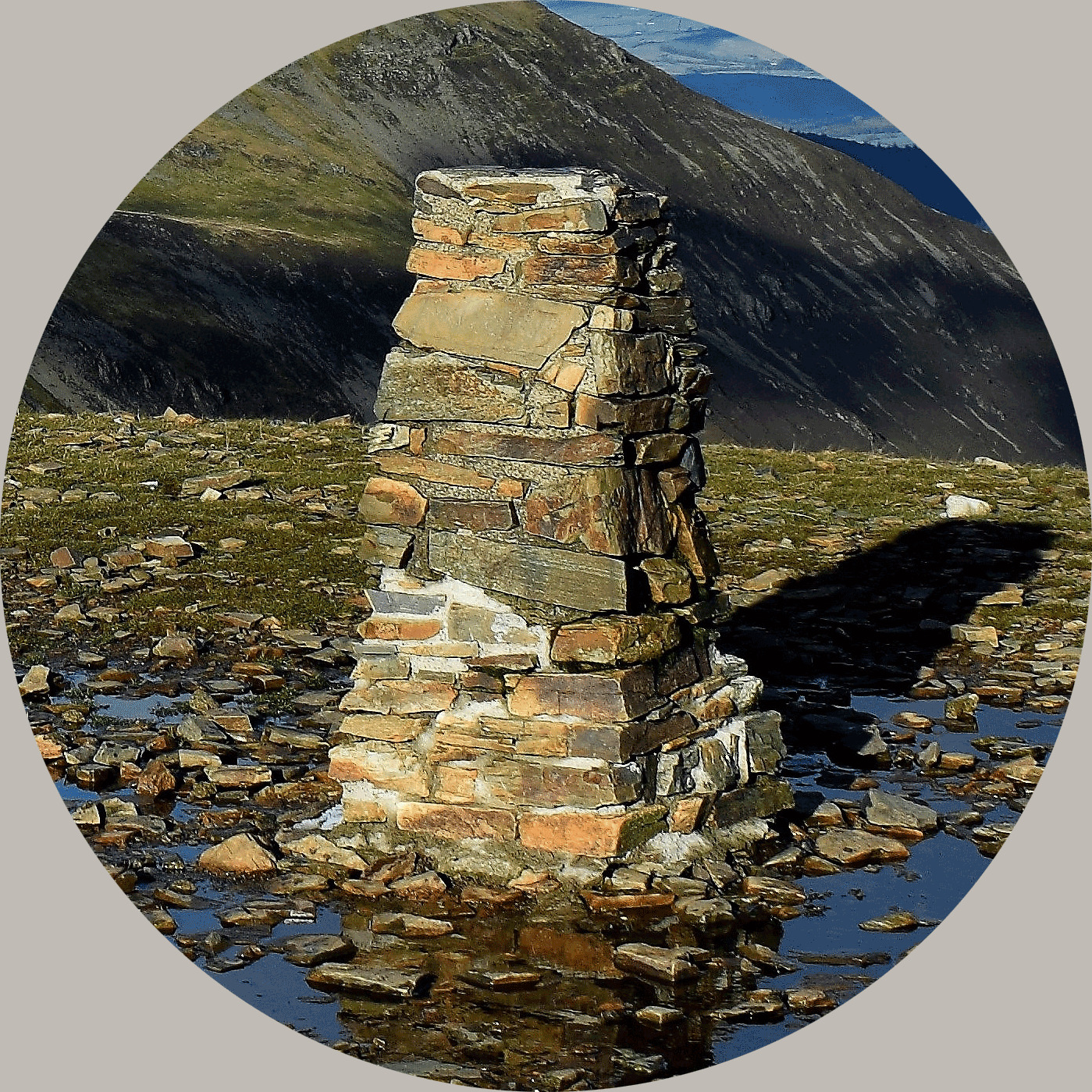
Coldharbour Lane trig point (TP2343)
The Coldharbour Lane trig point (also known as as Flush Bracket 11045 and OSGB36 Station SE38/T119) was completed on 25th June 1962 and cost £35.19s.7d. It was levelled for height in 1971, at 39.941m above sea level. It was last maintained by the Ordnance Survey (OS) in May 1975. The trig point is in the line of the hedge; now set at a very jaunty angle.
It was built as a replacement for the nearby trig point TP7118 Peter Hill (also known as Flush Bracket S7881 and OSGB36 Station SE38/T70) which was destroyed in July 1959, presumably as a result of improvement work to the A19.

About Ye Ole Survey Monuments
|
 |
Ye Ole Survey Monument (YOSM) is a captivating series of caches that pays homage to the remarkable legacy of OutForTheHunt's YSM series (GC45CC).
YOSM caches are strategically positioned at or near Trig Points. These triangulation stations have played a pivotal role as surveying landmarks, contributing to the mapping of expansive territories.
Some of these points, bearing historical significance, might now be situated on private land or have vanished with time. As a result, the caches are artfully placed in close proximity, reverently acknowledging the historical importance of these survey monuments.
|
More information, bookmarks and statistics can be found at the YOSM Website
If anybody would like to expand the Ye Ole Survey Monuments Series, please do.
I would ask that you request a number for your cache first at www.yosm.org.uk
so we can keep track of the numbers and names to avoid duplication.