Hawthornside Hill
Park at the suggested co-ordinates and walk along a good, grassy track towards a small brick building. The trig pillar is just beyond the building and the cache just beyond that, at the trees.

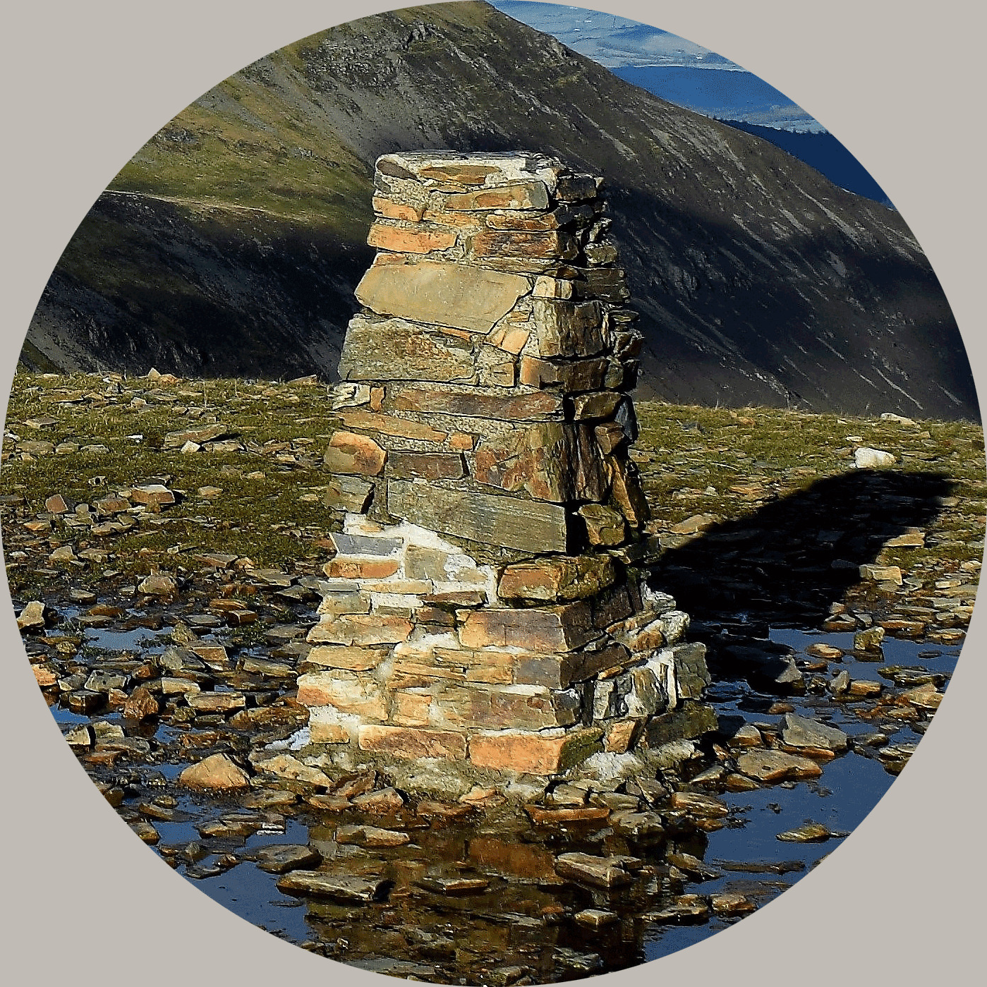
This triangulation pillar sits at a height of 287 metres, roughly between Hawick and Bonchester Bridge. It was constructed in September 1953 at a cost of £19.13s.4½. In the field are a number of brick buildings, some in ruins and others more upstanding. These are the remains of an RAF radio station. There are the remains of several High Frequency Direction Finding tower bases plus other buildings and earthworks.
The pillar has expansive views in all directions, quite surprisingly so given its low altitude.
About Ye Ole Survey Monuments
|
 |
Ye Ole Survey Monument (YOSM) is a captivating series of caches that pays homage to the remarkable legacy of OutForTheHunt's YSM series (GC45CC).
YOSM caches are strategically positioned at or near Trig Points. These triangulation stations have played a pivotal role as surveying landmarks, contributing to the mapping of expansive territories.
Some of these points, bearing historical significance, might now be situated on private land or have vanished with time. As a result, the caches are artfully placed in close proximity, reverently acknowledging the historical importance of these survey monuments.
|
More information, bookmarks and statistics can be found at the YOSM Website
If anybody would like to expand the Ye Ole Survey Monuments Series, please do.
I would ask that you request a number for your cache first at www.yosm.org.uk
so we can keep track of the numbers and names to avoid duplication.