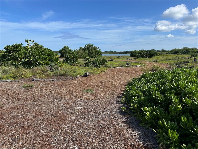
Kaloko-Honokōhau National Historical Park preserves the remains of an important Native Hawaiian settlement along the Kona coast of Hawaiʻi. The site contains traditional fishponds such as Kaloko and ʻAimakapā, which were carefully engineered to provide a reliable food source in an otherwise dry and rocky environment. Stone walls, house platforms, and petroglyphs found throughout the park reflect centuries of Hawaiian life and resourcefulness.
Weathering is the natural process that breaks down rocks and minerals over time. It occurs through physical, chemical, and biological mechanisms.
- Physical weathering breaks rocks into smaller pieces without changing their chemical composition. It can be identified visually by cracks, fractures, flaking, spalling on the rock surface, or abrasion from wind and water. There is also thermal weathering, which occurs when Hawaii’s dark basalt lava is exposed to strong temperature swings. During the day, the rock absorbs intense heat from the tropical sun, then cools quickly at night or when rain falls. These rapid changes create thermal stress that leads to cracking, flaking, and the gradual breakdown of the rock surface.
- Chemical weathering alters the minerals in the rock through reactions with water, acids, or oxygen, which gradually weakens the surface. Visually, it can be recognized by discoloration, pitting, or roughened surfaces which indicates that the rock is slowly deteriorating. Acid rain is a good example.
- Lastly, biological weathering occurs when plants, animals, or microorganisms contribute to rock breakdown, such as when roots grow into cracks or lichens produce acids that slowly dissolve minerals.
It is also worth mentioning that basalt typically resists chemical breakdown from normal weakly acidic rain. However during or after volcanic eruptions, gases such as sulfur dioxide (SO₂) and hydrogen sulfide (H₂S) are released into the atmosphere. These gases react with water vapor and oxygen to form sulfuric and sulfurous acids, which lowers the pH of rainfall below normal levels. This results in acid rain, which along with volcanic smog (vog), can significantly accelerate the weathering of basalt.
| Visual Weathering Class |
Visual Indicators of Class |
| 1 |
Lettering sharp and distinct. No evidence of change. |
| 2 |
Lettering slightly rounded showing evidence of some removal of grains. Still legible and cleat though. |
| 3 |
Lettering rounded. Edges clearly being removed and some original edges removed completely. Still legible and clear. |
| 4 |
Lettering rounded. All or most original edges removed, but lettering still legible, but increasingly becoming indistinct from the surface of stone. |
| 5 |
Lettering disintegrating. Lettering still just about legible, but now almost indistinguishable from the surface of the stone. |
| 6 |
What lettering? Lettering virtually disappeared. Need to be able to make out date to be able to date period over which lettering has disappeared. |
Rahn’s Weathering Index is a scale that can be used to evaluate how petroglyphs and other stone carvings change as they weather over time. Carvings gradually progress from freshly cut lines with sharp edges to markings that have rounded, blended into the rock surface, and eventually become almost invisible. This progression reflects the gradual removal of grains, smoothing of edges, and loss of carved detail, which can be recorded consistently with the index. While originally developed for gravestones, the index is equally useful for assessing the weathering of petroglyphs. By comparing how weathered different carvings are, researchers can establish a relative chronology and identify which petroglyphs are older or more recently created. It also helps archaeologists understand how local conditions such as rock type, climate, and sun or water exposure affect the rate of deterioration.
Please remain on the trail at all times to help protect the site for future generations to enjoy.
Logging Requirements:
- Which form(s) of weathering do you think are most dominant here? What steps do you think are being taken by the park to protect the carvings?
- How would you classify the condition of the petroglyphs, based on the Visual Weathering Class scale?
- Upload a photo with either yourself or a personal object taken near the posted coordinates.
Sources:
- https://www.nps.gov/thingstodo/petroglyphs-in-the-park.htm
- https://cdn.serc.carleton.edu/files/NAGTWorkshops/geomorph/activities/Tombstone_Weathering_Lab.pdf
- https://www.wyorksgeologytrust.org/misc/Teaching%20weathering%20in%20West%20Yorkshire.pdf
- https://www.bgs.ac.uk/discovering-geology/geological-processes/weathering/
- https://pubs.usgs.gov/fs/fs169-97/