Wasatch Himalaya 14 - Shishapangma
The cache is not at the posted location. Please solve the following field puzzle to
determine its true coordinates.
This is part of a series of 14 puzzle caches, each dedicated to one of the
world's 14 highest mountains. The puzzles are intended to be easy and each
features an easy(ish) hike to a nearby Wasatch hill or mountain summit.
Shishapangma is the world's 14th highest mountain - more on that below.
This is a field puzzle using the Draggle application, authored by
computer science professor
lesdubois and written specifically for geocaching puzzles.
It is intended to be solved at the summit of Ensign Peak, an extremely popular
hike with great views of downtown Salt Lake City and the Valley. It is
likely solvable from home using online tools, but if you plan to visit the cache
as well, I encourage you to solve it at the summit, as the cache is not far away
and it is quite a nice little hike.
The parking and trailhead are on Ensign Vista Drive, saved as a waypoint.
Follow the well-maintained trail to the posted coordinates at the summit.
The puzzle is intended to be run on a smartphone and can be started from the
link included below. To solve the puzzle follow these easy steps:
Stand at the posted
coordinates, on the south (downtown
SLC) side of the monument.
Click the link
below and start the Draggle puzzle.
The app presents
you with eight photos featuring the rocks composing the summit monument.
Two photos were taken on each of the four sides of the monument. For each
side, one can be found on the base of the monument and one above the base.
Scroll through the
photos and spot the two from the south side. Drag the photo taken above
the base to the top, followed by the photo from the base. To drag an item,
hold your finger down on the image and when it shrinks, drag it up or down.
As you move the image, a red and yellow line appears in the locations where it
can be dropped. Remove your finger to drop the image in the chosen
location.
Move to the east
side of the monument and repeat the process, moving the images into third and
fourth place in the list of photos. Then the north side and
finally the west side. For each side, arrange the photo above the base
first.
When the photos are
in the correct order, you have solved the puzzle! A message in the
application will display, giving you a short solution phrase. Click OK and
the application will copy the phrase for you and move you to the Certitude
Checker. You can also visit the Checker directly by
clicking here.
In the Checker,
paste the phrase into the solution box by pressing your finger in the box until
"Paste" is displayed. Tap "Paste" and then "Certify". You should
be presented with the coordinates of the cache.
The app will save your progress automatically, and if restarted, will remember
the sorting you have completed. That is, unless you clear your browsing history!
Please let me know if you encounter any problems. Enjoy the puzzle and the hike!
If the link below
doesn't open on your phone, open the listing in browser mode or copy this Web
address into your browser:
https://seawind.fun/Draggle/sorter.php?owner=seawind&puzzle=ensign
The Ensign Peak Draggle!
Alert!
You are about to download files that contain details needed to find
this geocache.
As the geocache owner, I ensure that the application is safe to download
and run.
It has not been checked by Geocaching HQ or by the reviewer.
Download at your own risk.
No registration is required.
No personal information is required.
Shishapangma - The World's 14th Highest Mountain
Fourteen of the
world's mountains have summits above 8,000 meters (26,247 feet). All of
them are in the Himalayan and Karakoram mountain ranges of Asia.
A very popular goal
of professional mountaineers is to climb all 14 mountains, an extremely
difficult and dangerous undertaking. Elevations in the 8,000 meter range
are known as the "Death Zone", where oxygen deprivation is in full play.
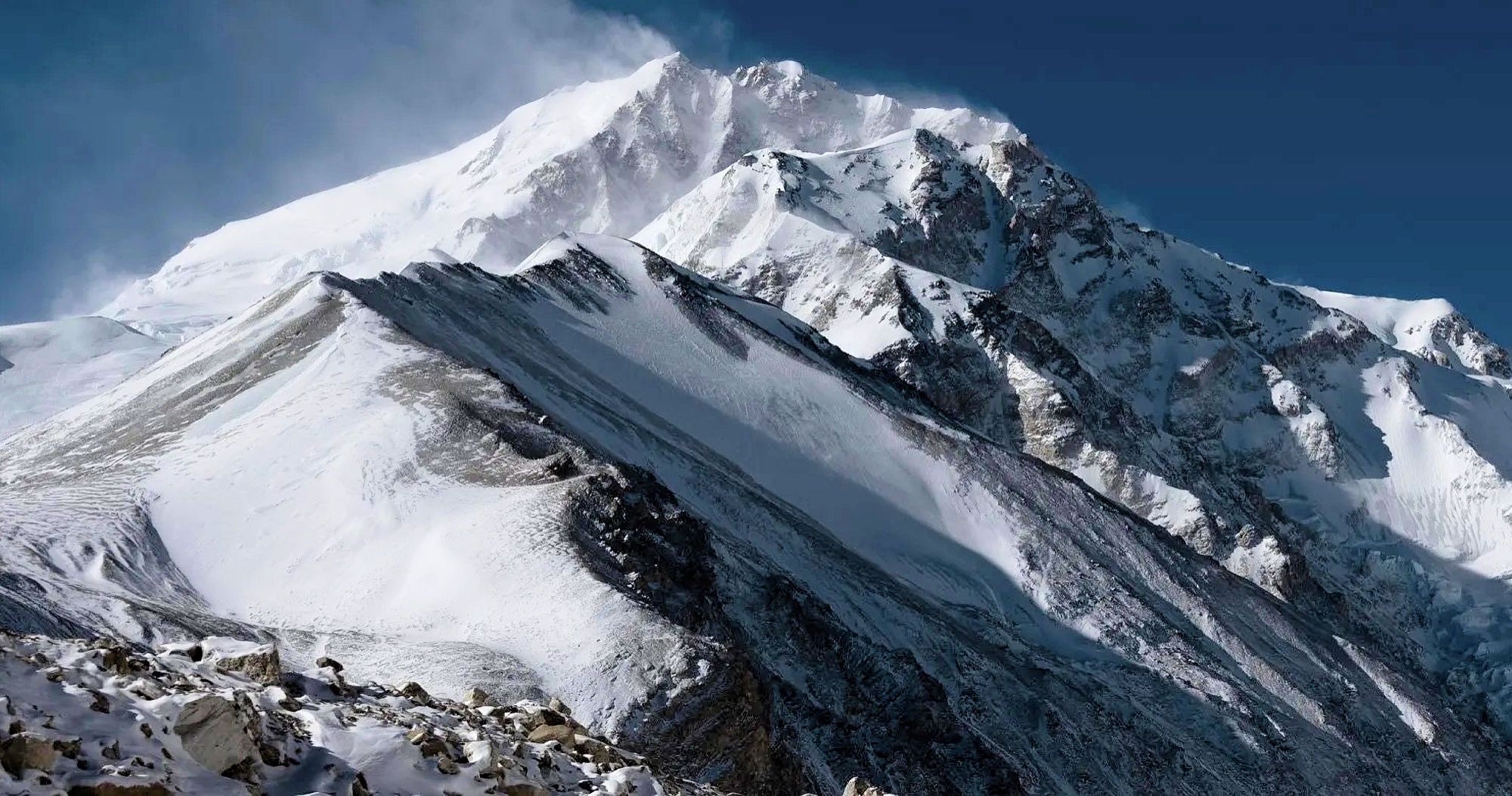
Shishapangma is the
lowest of the 14 summits at 8,027 meters (26,335 feet). It is in the
Himalayas of Tibet and was first climbed in 1964 by an expedition from China.