The effects of the glaciers associated with the ice age and particularly their part in shaping the scenery is very evident throughout the north of England where we can find many examples U-shaped valleys, mountain tarns, erratic boulders and limestone pavements but as you stand here on Rivock Edge looking out over the Aire valley and beyond its hard to imagine that not so long ago (in geological terms) this entire area was under a thick sheet of ice.
Here, on the edge of Rombalds Moor, large outcrops of Rough Rock sandstone sit on top of the underlying Millstone Grit - the outcrops have been shaped by the weather and share the appearance of many local landmarks such as the Cow & Calf rocks and Almscliffe Crag but look a bit closer and you will see here dramatic evidence of the glaciers that carved out this scenery

[Image from BGS public portal]
Around 20,000 years ago, this landscape lay beneath a thick glacier. As the ice moved, it carried with it sand, gravel, and larger stones frozen into its base. These acted like sandpaper, grinding across the underlying rock and carving grooves known as glacial striations.
At Rivock Edge, we can see for ourselves such features and they can often be used to determine the direction a glacier once travelled but here there is an added twist. The largest block displaying these striations is no longer in its original position.
After the ice melted, the exposed rock was subjected to intense freeze–thaw weathering. Water entered cracks, froze, expanded, and gradually broke apart the rock. Over time, blocks detached from the main outcrop and moved downslope, forming the scattered boulders seen today.

At the site I have brought you too identify the large block shown in the photo.
- Look closely at the top surface (masked in the image)
- Observe how the block sits within the surrounding area
Logging tasks
To log this EarthCache visit the site and find the rock in the image and send me the answers to the following
1. What can you clearly see on the rock's surface
2. Give two observations from the rock surface that show these marks were created by a glacier
3. Give two pieces of evidence that suggest the rock is no longer in its original position
4. Can you reliably determine the direction the glacier moved from this rock alone
Optionally add a photo to your log showing you or something personal at the trig point but not the detail on the rock please
This is my first published EarthCache - I hope you enjoy visiting the area
The UK Mega is returning to Yorkshire in 2028 : follow us at Yorkshire Mega 2028

About Ye Ole Survey Monuments
|
 |
Ye Ole Survey Monument (YOSM) is a captivating series of caches that pays homage to the remarkable legacy of OutForTheHunt's YSM series (GC45CC).
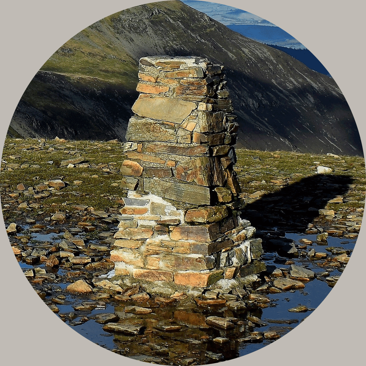
YOSM caches are strategically positioned at or near Trig Points. These triangulation stations have played a pivotal role as surveying landmarks, contributing to the mapping of expansive territories.
Some of these points, bearing historical significance, might now be situated on private land or have vanished with time. As a result, the caches are artfully placed in close proximity, reverently acknowledging the historical importance of these survey monuments.
|
More information, bookmarks and statistics can be found at the YOSM Website
If anybody would like to expand the Ye Ole Survey Monuments Series, please do.
I would ask that you request a number for your cache first at www.yosm.org.uk
so we can keep track of the numbers and names to avoid duplication.