Congratulations to BAWags75 for the FTF 26 minutes after publication!
Cache is not at the posted coordinates
"The Landsat program consists of a series of Earth-observing satellite missions jointly managed by NASA and the U.S. Geological Survey (USGS). Since 1972, Landsat satellites have continuously acquired images of the Earth’s land surface and provided an uninterrupted data archive to assist land managers, planners, and policymakers in making more informed decisions about natural resources and the environment. Landsat’s free and publicly accessible data contributed an estimated $25.6 billion to the United States economy in 2023 alone.
"With each new launch, Landsat’s decades-long data record becomes even more valuable. As the longest continuous space-based record of Earth’s surface, Landsat offers a unique resource to scientists studying long-term changes. Researchers have used Landsat’s archive to study how cities have grown, coastlines have shifted, crop cycles have changed, and forests have transformed since the 1970s.
"This groundbreaking research is possible because Landsat’s carefully calibrated, science-quality archive is the "gold standard" for satellite data. The program prioritizes science-grade instruments and data, ensuring that researchers can be confident that changes in subsequent Landsat images reflect changes on the ground. All NASA data is free and open to the public, meaning that anyone, anywhere on Earth, can use Landsat data." - from science.nasa.gov
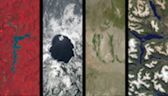
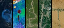
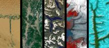
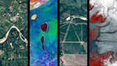
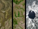
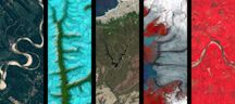
Your Name in Landsat provides users with Earth surface images resembling letters of the alphabet. Your Name in Landsat was used to acquire the following coordinates to the cache location.
Assume: N 43 30. W 096 43.