The Great Glen trigpoint project itself was a geological study of the crustal movement across the Great Glen Fault. This is where two crustal plates meet, with one plate slowly sliding north, while the other plate slides south. The area experiences numerous earthquakes each year, but as they are small and frequent, they are seldom felt. The Kessock Bridge, which spans the north end of the fault, was designed to cope with these tremors.
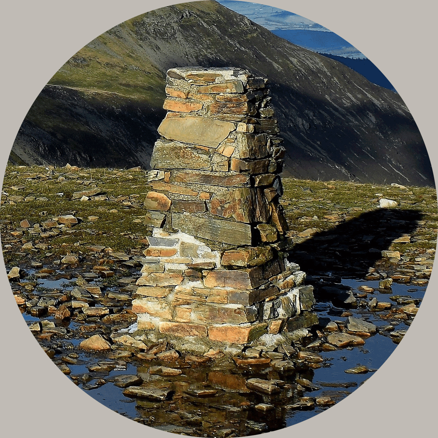
The project, designed to measure this movement, ran from 12 June 1972 until 3 July 1979. Fifteen pillars were planned, but only fourteen, comprising a mix of Hotine and Vanessa type trigpoints, seem to have been built. Most of the pillars have flush brackets, with the exception of Stations P and Q, but only one appears on OS maps, it being Station J, situated about 1.5k south of Fort Augustus (this geocache!).
Trigpoints are generally known for their contribution to mapping in the United Kingdom, it is interesting to see these trigpoints which were built for a unique project and not for mapping specifically, although the way the trigpoints were used to measure height and distance between them would have followed the normal principles.

This trigpoint is situated on a little hill (just 117m high) to the south of Fort Augustus offering a lovely view one way up Loch Ness and in other directions down the Great Glen. It's a fairly easy walk rewarded by superb views offering more than just a trigpoint. You can walk up from the town or park closer, there is a path up the hill which you are welcome to use under Scottish open access but be aware the gate may be locked so you may need to climb over it. The path actually has the 14 stations of the crosses leading you up to a large metal cross near the trigpoint, these are a traditional Catholic devotion meditating on the final hours of Jesus' Passion.
The container is well hidden at the summit, obviously with the hill being easily accessible there can be youth activity up here and therefore it is vitally important the geocache is rehidden carefully deep under the bush securely under a stone or it will get muggled, which will be very disappointing for those that follow. Thank you for your help in ensuring this lasts well for others to enjoy.
A waypoint is provided for the start of the path, and directions from a possible parking area are given in the parking waypoint.
About Ye Ole Survey Monuments
|
 |
Ye Ole Survey Monument (YOSM) is a captivating series of caches that pays homage to the remarkable legacy of OutForTheHunt's YSM series (GC45CC).
YOSM caches are strategically positioned at or near Trig Points. These triangulation stations have played a pivotal role as surveying landmarks, contributing to the mapping of expansive territories.
Some of these points, bearing historical significance, might now be situated on private land or have vanished with time. As a result, the caches are artfully placed in close proximity, reverently acknowledging the historical importance of these survey monuments.
|
More information, bookmarks and statistics can be found at the YOSM Website
If anybody would like to expand the Ye Ole Survey Monuments Series, please do.
I would ask that you request a number for your cache first at www.yosm.org.uk
so we can keep track of the numbers and names to avoid duplication.