The Quaboag River receives its name from Quaboag Pond, an Indegenous name meaning "red-water" (place or pond). The river is 25.7-mile-long that begins at Quaboag Pond in Brookfield at an elevation of 594 feet above sea level, then flows through the towns of West Brookfield and Warren, before joining the Ware River and Swift River in Three Rivers to form the Chicopee River at an elevation of 290 feet. Early industry started along the Quaboag River downstream from West Brookfield, where the river started a 300-foot change in elevation, providing significant waterpower. Major heavy industry was located in Warren because of the available waterpower from the river. Many of the dams on the river were destroyed during floods and not repaired or replaced. Parts of them remain, providing a hint of the river’s industrial past.
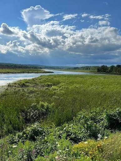
Each stage is located along the Quaboag River at 5 different boat ramps. Each stage is in order based on the flow of the river; east to west. Although each stage is easy to park at and grab, you can also grab these by boat! As you complete the adventure lab stages, the coordinates will easily be revealed.
Congrats to BlackstoneVal and ~Marvalus for FTF!