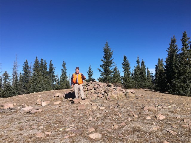
Chicoma Mountain is the highest peak in the Jemez Mountain range at an elevation of 11,561 feet. To get there, take 31 Mile Road west out of Espanola to the road junction waypoint provided. The side road is rocky and rough, so if you don't have a high clearance vehicle, park and hike from the junction. One possible route is to follow the side road about 0.7 miles to the parking coordinates provided and hike about 0.6 miles to the top. It's a fairly easy hike, however, depending on the route you choose, you may encounter some tree fall part of the way. If parking at the beginning of the side road, another route is to hike south to the ridgeline and follow it southeast to the cache.
There is a rock cairn at the top with a hiker's log that you can also sign but THE HIKER'S LOG IS NOT THE CACHE!.The cache is hidden about 100 feet south of the cairn. There is also a main benchmark and two reference benchmarks near the cairn that can be discovered.
The cache is regular sized filled with swag including an Ape Geocoin for the FTF. If you continue another couple of hundred feet southeast of the cache, there is a rocky point with nice views.
Some history: Chicoma Mountain was a lookout patrol point for fire watchers in the early 1900s although no lookout tower or other structure was ever built.
Congratulations to cyclegreen for the FTF!