One of seven caches placed to celebrate the annual UK Mega event coming to the West Midlands region in 2013. The West Midlands region is comprised of 6 counties:
 Herefordshire (GC3CFPX)
Shropshire (GC3CFQ0)
Staffordshire (GC3CFQ7)
Warwickshire (GC3CFP8)
West Midlands (GC3CFPD)
Worcestershire (GC3CFQ6)
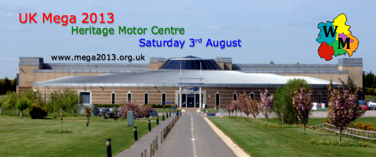
Each of these 6 counties has a cache hidden within it, containing one of six puzzle pieces used to solve a Bonus Cache (GC3CFN0), hidden close to the venue of the UK Mega 2013 - Heritage Motor Centre.
It is a county of contrasts with charming villages, bustling towns and the magnificent cathedral city of Worcester nestle in a mixture of mature woodland, meandering river valleys, fruit orchards and farmland.
Worcestershire has peaceful countryside with a turbulent past. Rolling landscape, open hills and breathtaking views await you. Cattle graze in the shadows of Iron Age hillforts, medieval settlement remains or on the former battlefields of the English Civil War.
The county borders Herefordshire, Shropshire, Staffordshire, West Midlands, Warwickshire and Gloucestershire. To the west, the county is bordered by the Malvern Hills and the spa town of Malvern. The southern part of the county is bordered by Gloucestershire and the northern edge of the Cotswolds; to the east is Warwickshire. There are two major rivers flowing through the county, the Severn and the Avon.
The cathedral city of Worcester is the largest settlement and administrative seat of the county, which includes the principal settlements of Bromsgrove, Stourport-on-Severn, Droitwich, Evesham, Kidderminster, Malvern, and the largest town, Redditch, and a number of smaller towns such as Pershore, Tenbury Wells and Upton upon Severn. The north of the county includes part of the industrial West Midlands conurbation while the south of the county is largely rural.
This cache can be found by solving the puzzle below and by finding this trackable:
 UK Mega 2013 - Worcestershire.
The trackable tag will give you the missing part of the westing and this puzzle will give you the missing part of the northing:
D = "Numbered" river that runs through Worcestershire
G = Number of pears on the Worcestershire coat of arms
C = Number of local government districts
F = Number of county borders
N52 13.(CxFxD)-(G-(C/F))
W002 08.XXX
XXX is the 3 digit number found on a disc attached to the Worcestershire trackable tag
