 English description (German version below):
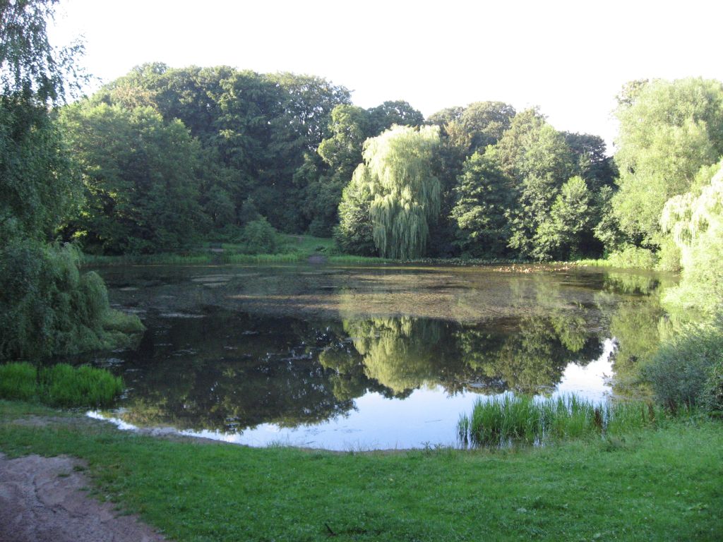
Sinkhole Earthquake and Salt Dome
A sinkhole, also known as a sink, shake hole, swallow hole, swallet, doline or cenote, is a natural depression or hole in the surface topography caused by the removal of soil or bedrock, often both, by water. Sinkholes may vary in size from less than a meter to several hundred meters both in diameter and depth, and vary in form from soil-lined bowls to bedrock-edged chasms. They may be formed gradually or suddenly, and are found worldwide.
If groundwater is in contact with the halite, another factor to be reckoned with is subrosion, i.e. cavities developing due to salt leaching. This could cause the roof to collapse, or sinkholes to form on the surface of the earth. There are numerous examples of this happening in salt domes all across northern Germany. They show up as small Lakes or Bog.
The long Saltdome, reaching from Quickborn up to Othmarschen is 4 Kilometer in Diameter and und the Hospital of Altona it reaches up to 1 meter under the earth Surface.
Also the over 17 Kilometer far away Prophetensee in Quickborn is a sinkhole from the same Salt Dome.
Please perform the following tasks to log this earthcache:
1. Which types of Dolines are known and of which Type is the "Bahrenfelder See". Send it to me.
2. How many meters has the lake on the widest part. Send the answer to me.
3. Take a picture with your GPS at the characteristic Tree at the coordinate.
More Informations:
Sinkhole
 German Description:
Erdfall, Erdbeben und Salzstock
Als Doline (von slawisch dolina: Tal) oder Erdfall bezeichnet man eine schlot-, trichter- oder schüsselförmige Senke von meist rundem oder elliptischen Grundriss.
In Norddeutschland entstanden Erdfalltrichter über Salzstöcken, die zuvor durch Grundwasserablaugung (Subrosion) ausgehöhlt worden und eingestürzt waren. Oft entwickelten sich darin Seen oder Moore, wie in diesem Fall der Bahrenfelder See.
Der langgezogene Salzstock, der von Quickborn bis nach Othmarschen reicht hat eine Breite von 4 Kilometern und reicht unter dem Altonaer Krankenhaus bis auf wenige Meter unter die Erdoberfläche heran.
Auch der über 17 Kilometer entfernte Prophetensee in Quickborn (N53 43.484 E9 53.789) ist ein Erdfall auf demselben Salzstock.
Um diesen Earthcache zu loggen mache bitte folgendes:
1. Welche Dolinentypen sind bekannt und worunter fällt der Bahrenfelder See? Sende mir deine Antwort. Da bisher alle Antworten richtig waren, darfst du nach dem senden sofort loggen - ich melde mich dann nur, wenn die Antwort falsch ist.
2. Wieviele Meter hat der See an der breitesten Stelle. Sende mir die Antwort.
3. Mache ein Bild von deinem GPS an dem Baum der an den angegebenen Koordinaten steht und poste es mit deinem Log. N 53 33.982 E9 53.868 - der "abgeknickte Baum steht direkt am Wegesrand
Mehr Infos:
Erdfall
Erdbeben in Hamburg