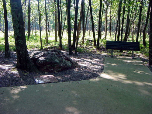
 Taum Sauk Mountain in the Saint Francois Mountains is the highest point in the U.S. state of Missouri (that is not man-made), 1,772 feet above mean sea level.
The topography of Taum Sauk is that of a somewhat flat ridge rather than a peak.
While not as impressive at 1,772 feet as other peaks, Taum Sauk and the St. Francois range are true mountains, being the result of a volcanic orogeny. Orogeny, (Greek for "mountain generating") is the process of natural mountain building, and may be studied as a tectonic structural event, as a geographical event and a chronological event, in that orogenic events cause distinctive structural phenomena and related tectonic activity, affect certain regions of rocks and crust and happen within a time frame.
Whereas vertical relief in the rest of the Ozarks region is the result of erosion of sedimentary strata, the St. Francois are an ancient Precambrian igneous uplift several times older than the Appalachians.
Geologists believe that Taum Sauk and its neighbors may be among the few areas in the US never to have been submerged in ancient seas. The peaks of the St. Francois range existed as islands in the shallow seaway throughout most of the Paleozoic Era as the sandstones, limestones, and shales typical of the Ozarks were deposited.
Weathering and erosion of these ancient peaks provided the clastic sediments of the surrounding rock layers.
 To log this earthcache, post a photo of yourself standing on the highpoint (not the tower) and include your GPSr coordinates.
And to demonstrate the educational value of your visit, email me the answers to the following three questions:
1. From what process were the St. Francois Mountains formed?
2. How many times were the mountain peaks submerged during the Paleozoic Era?
3. How much higher than 1,772 feet msl is the high point documented to be?
PLease email your answers to ARF! at this address:
AirRaidFan@aol.com
Please email your answers first, the LOG THE FIND. Do not wait on a reply from me. FINDs which do not meet logging requirements will be deleted.

 Bronze.
 Silver.
 Gold.
Gold. Platinum.
ARF! is an EarthCache Master
You can be, too! Click on the Earthcache logo above to see how!
Platinum.
ARF! is an EarthCache Master
You can be, too! Click on the Earthcache logo above to see how!
Earthcaching: Leave No Trace!