Brush Creek Canyon EarthCache EarthCache
Brush Creek Canyon EarthCache
-
Difficulty:
-

-
Terrain:
-

Size:  (not chosen)
Please note Use of geocaching.com services is subject to the terms and conditions
in our disclaimer.

This EarthCache will bring you
to Brush
Creek Canyon State Preserve. Brush Creek Canyon is located 2
miles north of Arlington Iowa.
Despite popular belief, a great
deal of Iowa's
landscape is far from being flat farmland. As a matter of
fact,
Iowa's geology varies greatly. At no other place in Northeast
Iowa
is this more true than at Brush Creek Canyon.
Here, you will see a deep canyon
cut into the
surrounding rock. This area that you are standing right now
is
called the Paleozoic Plateau. Narrow valleys deeply carved
into
sedimentary rock of Paleozoic age and a near-absence of
glacial
deposits define this scenic region. Fossil-bearing strata
originated as sediment on tropical sea floors between 300 and
550
million years ago. Rock layers vary in resistance to erosion,
producing bluffs, waterfalls,canyons and rapids. Shallow
limestone
coupled with the dissolving action of groundwater yields
numerous
caves, springs, and sinkholes.
But how
exactly are canyons formed?
Canyons often form in areas of
limestone rock.
Limestone is a sedimentary rock composed largely of the
mineral
calcite. Limestone is to a certain extent soluble, so cave
systems
form in the rock. When these collapse a canyon is
left.
This formation process is
different than the
canyons located in the American Southwest that are formed by
the
process of water errosion.
To receive credit for this
EarthCache, you
will need to complete the following tasks:
1. Waypoint 1 will take you to a picnic
shelter located at
the trailhead for the trail leading to the bottom of the
Canyon.
Note the elevation at this point. This will prove to be
important
in determing the depth of the Canyon.
2. Now proceede to Waypoint 2. This point is
located at the
bottom of the Canyon. Note the elevation here.
3. In an e-mail to me, please tell me the
depth of this
Canyon.
And
4.
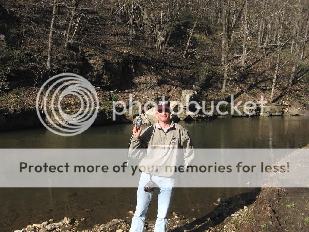
When logging this EarthCache, please
upload a picture of
yourself/ team with your GPS clearly visible while at the bottom
of
the Canyon. (See example below)
Logs that do not meet these four
criteria
Will Be Deleted. No
Exceptions!
At no time is it necessary to leave
the
established trails to record the data required to log this
EarthCache. Please respect this area's unique ecology and
Stay
On The Trail!
This EarthCache is intended for the
entire
family, but please note that the trail to the bottom of the
Canyon
may be icy/slippery during certain times of the year. Please
use
caution when attempting this EarthCache.
Additional Hints
(No hints available.)