Himalaya Local Traditional Geocache
-
Difficulty:
-

-
Terrain:
-

Size:  (small)
Please note Use of geocaching.com services is subject to the terms and conditions
in our disclaimer.
Himalaya, I guess you have
heard the name. Most of us have - but few of us ever get there.
Here comes a substitute for the real thing - namely this
cache.
|
|

Here it is: The
local Himalaya. The road that dips down in the north is National
Route 33.
|
At least since the
1930s, it has been possible to see the name Himalaya on official
Norwegian maps.
The reason for the
name is not known, but I have heard two theories.
The first theory
is that the name stem from the fact that the local hilltopp is very
steep, at least on three sides.
The second theory
has its origin in the dags of Tonsåsen Sanatorium ( The building
comples just across the raod from the trailhead is now called
Tonsåsen Opptreningssenter. But it started out as a santorium
, mostly dealing with tubercolosis cases.)
One of their
patients was ready for an expedition to the Himalaya, but was hit
by tubercolosis, so he missed the trip to the Himalayas. However -
he came here and recovered and was at last able to walk to this
hilltop and it is said that he made the following statement: "Well,
let this be my Himalaya then." And from then on the name
stuck.
Which version is true ? I hope for version 2 , but it probably is
version 1. |
|
How to
get there: Park close to National Route 33 at the branch
of to Tonsåsen and Bagn, waypoint coordinates given below. Walk the
around 300 meters south to the trailhead, waypoint soordinates also
given below. Start walking, following red markers and signs saying
Himalaya and/or Fårekålbenken (Base Camp) all the way to
the viewpoint close to the summit. From here you have a nice view
to the north and also to parts of the Etnedalen valley. There
is a track of this route in the photo gallery.
It
also possible to park further south and walk the gravel road -
first east and then north at the first road branching - until you
see the sign saying Himalaya. This makes the hike a little shorter,
but less scenic.
At
the summit there is a visitor book in a wooden box (this is NOT the
cache). There is also and exhibition of postcards with motifs
- you guessed it - from the real
Hamalaya.
The cache:
is a
decon
box
. It holds a log, stash note and it is also room for small
items for trading. The box hangs in a rather large
spruce.
|
|
 |
To the
left:
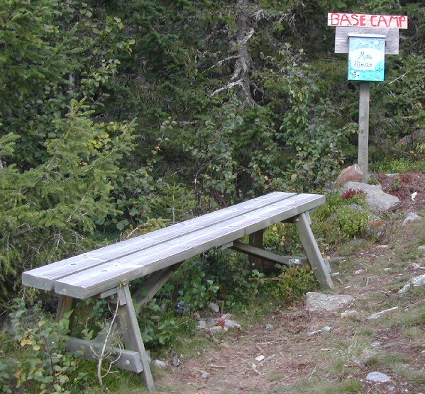
A cache with a name like this of course also offers a Base Camp
(also known as Fårekålbenken). |
|
Additional Hints
(Decrypt)
RAT Nebhaq 10 zrgref fbhgu bs gur fhzzvg. 1.80 zrgreff nobir tebhaq.
ABE Bzgerag 10 zrgre føe sbe gbccra. 1.80 z bire onxxra.