The Echo / Wanapum area about 20 million years
ago was humid and the topography was a network of streams and
hills. There was no Cascade Range, and moisture-laden clouds
sweeping inland from the Pacific created an environment in which a
rich and diversified forest thrived.
Floods of molten balsaltic lava welled up through fissures in
the earth's crust, eventually engulfing an area of 200 000 square
miles to a general thickness of several thousand feet. Between
eruptions, lakes and marshes formed and forests grew. With each
lava flow the forests were destroyed. Some logs were engulfed,
preserved and ultimately petrified.
To log this Earthcache e-mail the cache owner do not
post answers to these questions:
1. The raising of the Cascade Range began with the end of the
outpouring of lava approximately how many years ago?
2. With the raising of the Cascade Range, what happened to the
eastern Washington area?
3. What force has led to the exposure of petrified wood that can
be found in the area today?
4. Post a picture of yourself and GPS at the cache site.
Highways in this Area
Before the days of the railroad, the transportation of the mail
and interstate travel were dependent on public roads. The federal
govenment encouraged the early development of early post roads.
(Roads used for the distribution of US Mail). Then, with the coming
of the railroad, the government switched it's interest in roads to
railroads as a better means of interstate travel. It wasn't until
the coming of the motor car that the federal government renewed
it's interest in public roads.
By 1906, the need for a better organization to build roads was
recognized. Thus the State Legislature established what today is
our Department of Highways. Stagecoach and covered wagon trails
slowly gave way to dirt roads which were passable at least in dry
weather. Thus, in turn, were succeeded by macadam and occasionally
fir plank roads.
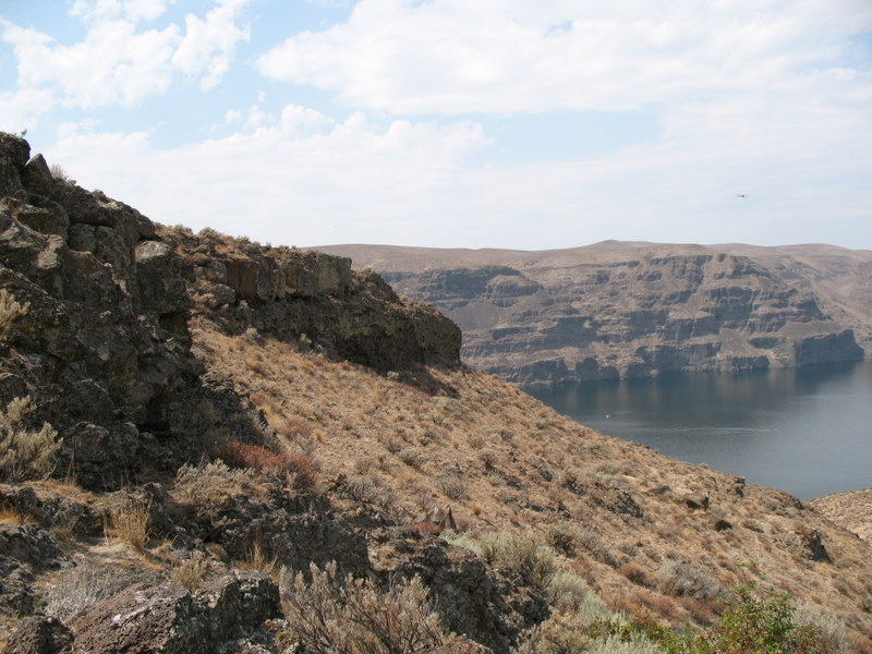
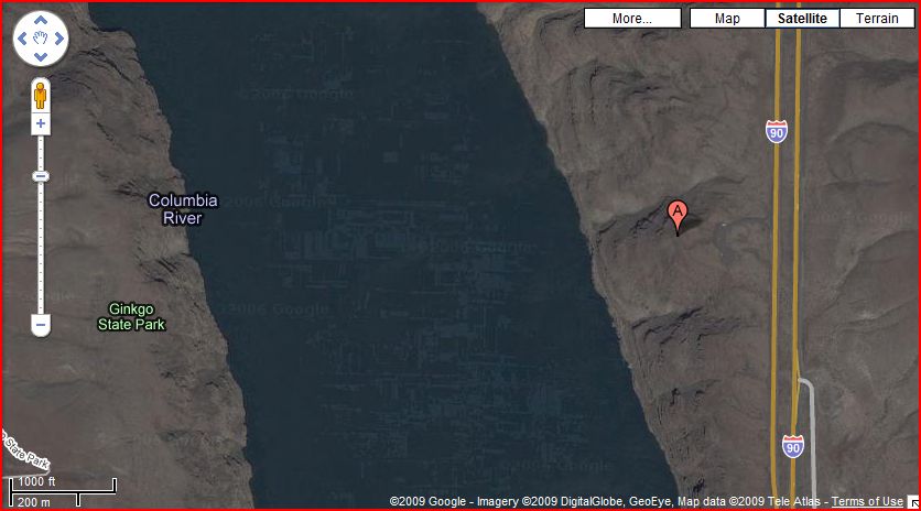
Remnants of early day roads can be seen at this site in the
valley below. The first roads in this area were constructed about
1918 and followed the contour of the hillside down to a ferry
landing. In 1930 an improved highway was constructed.