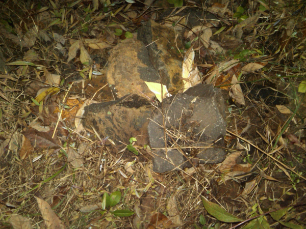
Figure out where this picture was taken and you'll find the
1st stage hidden under those rocks.
Inside the container you'll find instructions on finding the
cache. There are two approaches.
Approach 1 uses a beacon to transmit the final coordinates.
You'll need to have a compatible Garmin GPSr with the current
firmware that supports the "chirp". GPSr needs to be set-up to
receive the signal and having the sound on helps. The final
coordinates will be received by your GPSr when you're within 30-40'
of the beacon.
Approach 2 is a more traditional and ancient method where
you'll need to project a bearing. Use a compass or your GPSr set to
magnetic.
At this spot you'll need to find a bison container. Coords to the
final are inside.
In your log indicate which approach you took to find the
final.