The trig is situated within the National Trust managed Southwick
Hill. There was a settlement at nearby Thunders Barrow from the
early Iron Age to the end of the Romano-British period, the defeat
of the Romano-British by Aelle's invading Saxons at nearby Slonk
Hill may have had something to do with it. There are extensive
earthworks and lynchets in the area with the settlement providing
one of a number of forts that stretched across the Downs at this
period. In 1996 the 500 metre long twin-bore tunnels opened, taking
the A27 under Southwick Hill.
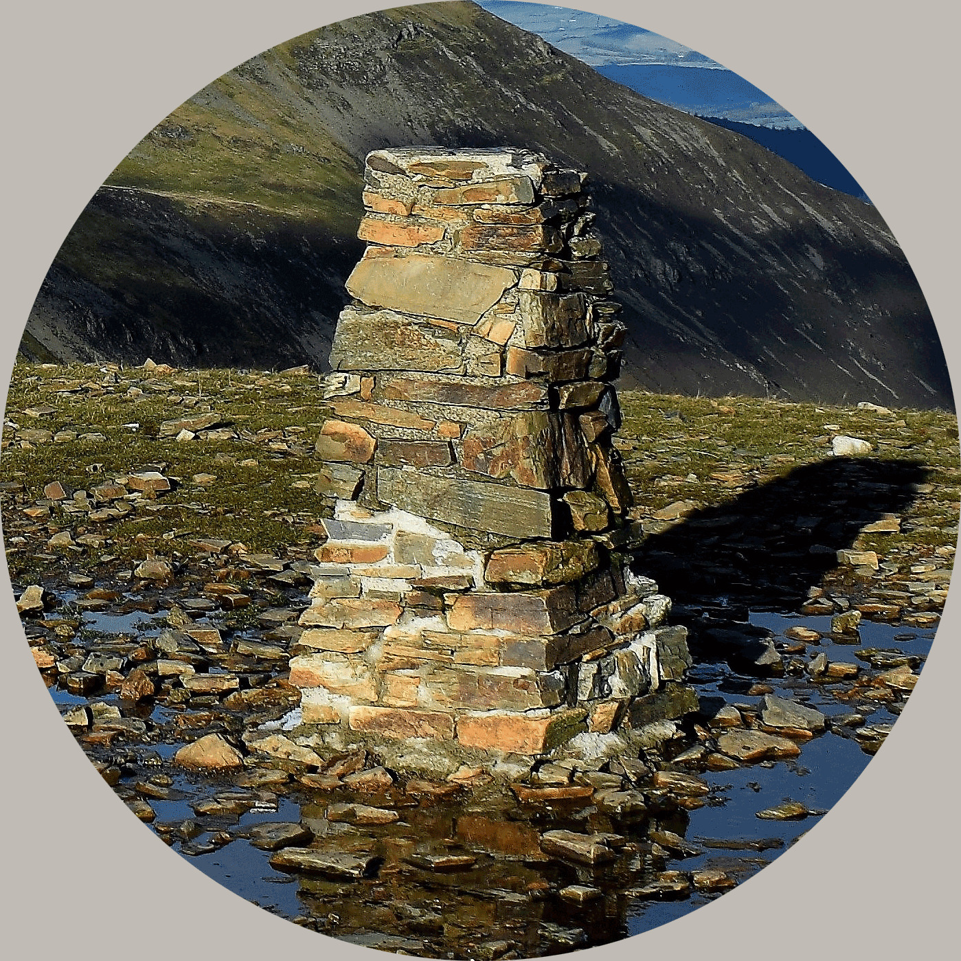
Stage 1: Visit the trig and note the number on the flush
bracket.
SABCD
Stage 2: The cache is hidden at:
N 50.51.A(B+2)(C-1) W 000 14.(A+4)(B+6)(C+3)
About Ye Ole Survey Monuments
|
 |
Ye Ole Survey Monument (YOSM) is a captivating series of caches that pays homage to the remarkable legacy of OutForTheHunt's YSM series (GC45CC).
YOSM caches are strategically positioned at or near Trig Points. These triangulation stations have played a pivotal role as surveying landmarks, contributing to the mapping of expansive territories.
Some of these points, bearing historical significance, might now be situated on private land or have vanished with time. As a result, the caches are artfully placed in close proximity, reverently acknowledging the historical importance of these survey monuments.
|
More information, bookmarks and statistics can be found at the YOSM Website
If anybody would like to expand the Ye Ole Survey Monuments Series, please do.
I would ask that you request a number for your cache first at www.yosm.org.uk
so we can keep track of the numbers and names to avoid duplication.