Skip to content

Eastern Trail up to South Table Mountain Traditional Cache

Hidden : 1/25/2009
Difficulty:
1.5 out of 5
Terrain:
1.5 out of 5

Size: Size:   small (small)

Join now to view geocache location details. It's free!

Watch

How Geocaching Works

Please note Use of geocaching.com services is subject to the terms and conditions in our disclaimer.

Geocache Description:

Find this cache about four hundred yards from the start of a trail that leads up South Table Mountain from the east. Some people may rate the difficulty as 2 and the terrain as 2.5. I'm keeping it 1.5/1.5 so more people can play.

You're looking for an 8" camo pill bottle. There is room for geocoins and small travel bugs. The trail is not steep at this point.

After you've found this cache, keep moving and search for other caches on top of the mesa. The area is rich in fauna, flora and history. Enjoy views of Denver, the Rocky Mountains, Golden and Green Mountain as you hike.

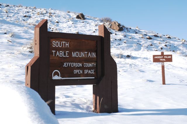
NOTE: I love taking this trail in the spring time, when the pink and white blossoms carpet Lakewood, Golden and Wheat Ridge. The trail forks before it reaches the top of the mesa. The right (west) fork has a more gradual slope. The left (east) fork is more direct, but is steeper in sections. After rain or snow, both forks of this trail will be muddier or icier than the easier southern trail that starts near near GC1M0P7.

Additional Hints (Decrypt)

Haqre bireunatvat ebpx, rnfg fvqr

Decryption Key

A|B|C|D|E|F|G|H|I|J|K|L|M
-------------------------
N|O|P|Q|R|S|T|U|V|W|X|Y|Z

(letter above equals below, and vice versa)