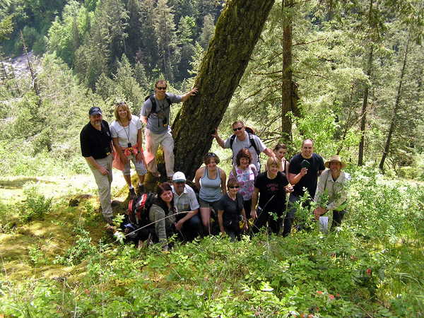
This cache was placed as part of the Introduction to Geocaching
course that was put on by the Hope Mountain Centre for Outdoor
Learning on May 15, 2010. For more information on the HMCOL, please
visit www.hopemountain.org.
This trail, as well as the whole area, is rich in history. Not
only will you be hiking along the historic Kettle Valley Railway
(KVR) railbed, but the Hope-Nicola Valley Trail itself follows part
of the historic Dewdney Trail that weaved it's way from Hope to
Rock Creek and beyond. Included in the cache is a laminated copy of
a map of the Dewdney Trail route for your enjoyment. This is meant
to be left in the cache and not taken. Thanks to Kelly Pearce of
the HMCOL for the map.
More information on this trail can be found at www.clubtread.com.
Parking is available either at the 2 parking waypoints. The
actual trailhead is also marked for you.
Dewdney Trail History
The Dewdney Trail is a 720km trail that served as a major
thoroughfare in the mid-1800s. The trail was a critical factor in
the development and strengthening of the newly established British
Colony of British Columbia, tying together mining camps and small
towns that were springing up along the route during the gold rush
era prior to the colony's joining Canadian Confederation in 1871.
The route's importance and urgency was prompted because many new
gold finds were occurring at locations near the US border that were
much more easily accessed from Washington Territory than via any
practicable route from the barely-settled parts of the Lower
Mainland and Cariboo. Today, approximately 80% of the former trail
has been incorporated into the Crowsnest Highway.
The section along the Hope-Nicola Valley Trail was the first
section of the trail that was built in 1860-61 to satisfy demands
by the merchants in Hope who wanted to supply the gold rush that
was taking place in Rock Creek. The Royal Engineers were hired to
survey a route from Hope to Rock Creek and the road building
contract was awarded to Edgar Dewdney who commenced construction in
1860. The wagon road was to be 4 feet wide (1.2 metres) with a rise
of no more than one foot over 12 feet (3.65 metres). He struggled
to attain these results as eager miners thrashed the newly
constructed wagon road and refused to pay Dewdney and his crew the
tolls that were to be the revenue for their work. In disgust with
the terms and the route selected by the Royal Engineers, Dewdney
quit before the end of the summer, completing 9 miles of road and
leaving the Royal Engineers to complete the road to Princeton that
year. The next year Dewdney returned to the project with Walter
Moberly to continue the road to Rock Creek. By the end of 1861, the
trail to Rock Creek was complete, just in time for the end of the
gold rush.
More Information
en.wikipedia.org/wiki/Dewdney_Trail
www.virtualmuseum.ca/Exhibitions/Dewdney/english/index.html
Kettle Valley Railway (KVR) History
In the early 1900’s, the Canadian Pacific Railway decided a
route was necessary to link the Kootenay region with the BC coast
by rail. Andrew McCulloch was hired as the chief engineer in May
1910.
The Coquihalla subdivision included 38 miles from the Coquihalla
Summit to the junction with the CPR mainline across the Fraser
River from Hope. This section boasts the most expensive mile of
railway track in the world: $300,000 in 1914! The construction was
done almost exclusively by hand with the assistance of a few horse
drawn scrapers and some black powder. His assistant engineers
nick-named the railway “McCulloch’s Wonder”.
The greatest challenge of this route was the Coquihalla gorge,
just east of Hope, where the river had cut a 300-foot-deep channel
in solid granite. Other engineers had suggested a mile-long tunnel
by-passing the gorge, but McCulloch chose to build directly through
it. Hanging in the gorge in a wicker basket, McCulloch surveyed the
canyon for a straight line of tunnels that could be dug
simultaneously. Cliff ladders, suspension bridges and ropes allowed
workers to complete what is, to this day, regarded as a spectacular
engineering feat.
The Kettle Valley Railway was officially opened on July 31,
1916, however on November 23, 1959, a washout was reported just
north of the tunnels. The 400-foot washout was too large to be
filled in one day, and numerous other washouts added to the
troubles of the maintenance crews. The line was closed and never
reopened; it was officially abandoned in July of 1961. The tunnels
and surrounding area became a provincial recreation area in May of
1986.
More Information
en.wikipedia.org/wiki/Kettle_Valley_Railway
www.hectorturner.com/kettlevalley/index.html
www.env.gov.bc.ca/bcparks/explore/parkpgs/coquihalla_cyn/