Ioto, (formarly known as Iwo Jima - the
name was officially changed from Iwo Jima in 2007) is one of three
small islands found in the archipelago, 1,200 km south of
Tokyo. It lies about half-way between Tokyo and Guam and
administrativly belongs to the Tokyo, Metroplitan Government,
Ogawawara Village. Ioto is 8.5 square miles (22 square km) of
volcanic soil with numerous gas emitting vents, significant ground
faults and minor volcanic activity, such as phreatic
eruptions. The most recent eruption occured as recently as
2001.
The island
is unusually flat and featureless for a volcanic island. Suribachi
is the only obviously volcanic feature, although it is almost
entirely volcanic in origin, as it is only the raised center of a
larger submerged volcanic caldera. The triangular, 8-km-long
island, lies above a 9-km-wide submarine caldera, narrowing toward
it's southwest tip, where the Suribachi cone is located. Between
1952 and 1968, the island observed 13 inches (33 cm) of uplift per
year.
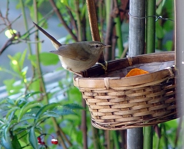
Uguisu
Jigoku litereally means "warbler hell" in Japanese. This vent
is named after the color of the hot muddy water which is the same
color as the Japanese bush-warbler. It has been reported that
in 1969 the so called 'hell' began. The ground started to
smoke from a hole 10 meters wide and a few meters deep. It
was reported that in August 1969 the cloud stopped, but can be seen
again today. This is the largest and deepest active vent on
Ioto. It is approximately 60-80 feet in diameter and approximately
40 feet deep.
Fumarole (Latin fumus, smoke) is an
opening in Earth's (or any other astronomical body's) crust, often
in the neighborhood of volcanoes, which emits steam and gases such
as carbon dioxide, sulfur dioxide, hydrochloric acid, and hydrogen
sulfide. Fumaroles are often present on active volcanoes
during periods of calm between eruptions. The gases come from the
hot magma under the ground. When groundwater gets near the magma
the water heats up and creates steam as well. The gases contain
such elements as oxygen, carbon, hydrogen, sulfur, and chlorine.
Some of these can combine to make gases that are poisonous to
plants and animals, but otherwise fumaroles are not dangerous.
Fumaroles are related to hot springs and geysers. The name
solfatara, from the Italian
solfo, sulfur (via the Sicilian dialect), is given to fumaroles
that emit sulfurous gases.


Watch a video of Warbler Hell:
http://www.youtube.com/watch?v=lhUNh_aDZek
Questions:
1. Specifically, is this a fumarole or a solfatara?
What feature at the site makes you think this?
2. What altitude does your GPS read at the level of the
openings rim?
3. From where is the water at the bottom comming? Why do you
think so?
4. What colors make up the sign at the road? (please do not
post a photo with the sign)
5. Post a photo of you (or your GPS w/ lat-long or alt) at
the site (optional).
Send me your answers but please do not post in the log. Feel
free to log your visit once you send your answers, but arm-chair
loggers will be deleted.
Thanks for visiting!
WARNING: Please understand that this is potentially a
life threatening geological formation. It is not being
recomended to venture to the edge of the opening. All
visitors to the site assume full responsibility for their
own safety.

