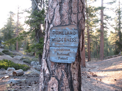
The United States Congress designated the Domeland Wilderness in
1964 and it now has a total of 133,160 acres. All of this
wilderness is located in California and is managed by the Bureau of
Land Management and the Forest Service.
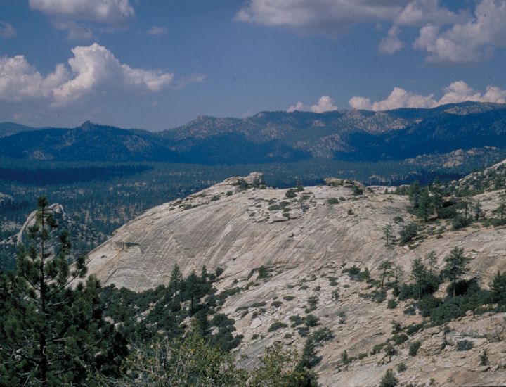
Extremely rugged country with sparse vegetation, the original
Domeland Wilderness was known for its many granite domes and unique
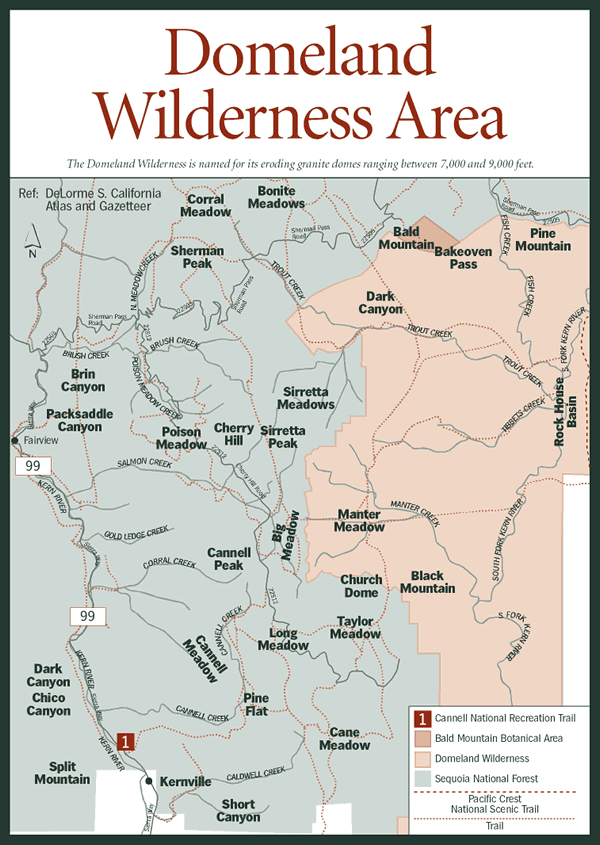
geological formations. Additions were made in 1984, primarily on
the north side, including a large basin surrounded by rock
formations that comprises a more gentle region with mixed conifers
and wet meadows. The California Desert Protection Act of 1994 added
BLM acres on the east (and a little on the south); thick
pinion-covered mountains, rugged topography, perennial streams, and
outstanding opportunities for solitude. Here in Domeland, semiarid
mountains dwindle into low desertland. The Wild and Scenic South
Fork of the Kern River, one of America's wildest waterways, crosses
the Wilderness through deep gorges with bold rock outcroppings and
domes interspersed with meadows. The river and its tributaries,
which include Fish Creek, attract anglers in search of trout.
Although the fishing can be excellent, you often will have to
resort to strenuous off-trail hiking.
The Pacific Crest Trail crosses the area north-south and follows
the river for about nine miles. Other trails, suitable for foot and
horse, give access mostly to the northern section, leaving the
south and east seldom explored and difficult to travel. There are
about 45 total trail miles.


Dome Land is the southern most wilderness in the Sierra Nevada.
It is located at the southern end of the Kern Plateau about 70
miles northeast of Bakersfield.
Approximately 32,000 acres have been added to the existing
Wilderness, mostly on the north and east sides. Several ecosystems
here join to form unique plant and animal communities. This
biological laboratory is made even more unique by virtue of its
being bisected by the South Fork of the Kern River, the
southernmost Golden Trout habitat in the state. Fish Creek is a
tributary of the river in this portion.
The original 62,695 acres are known for its many granite domes
and unique geologic formations. The semi-arid to arid country has
elevations ranging from 3,000 to 9,730 feet. Vegetation is mostly
mixed conifer and piñon. The South Fork of the Kern and tributary
streams attract many fishermen. Some areas of the Wilderness are
extremely rugged while others have a more gentle terrain.

Here's to DAD