Eqi EarthCache
-
Difficulty:
-

-
Terrain:
-

Size:  (not chosen)
Please note Use of geocaching.com services is subject to the terms and conditions
in our disclaimer.

Sådan logger du en earthcache:
Send en mail til mig med svarene på de spørgsmål, der stilles FØR du logger cachen.
Du kan logge cachen som fundet umiddelbart efter du har mailet svarene. jeg kontakter dig, hvis svarene er forkerte.
Læs opgaven grundigt, så du er sikker på at du får alle oplysninger med. Dine svar må IKKE fremgå af selve logningen.
How to log an earthcache:
Send an email to me with the answers to the questions from the cachedescription BEFORE you log the cache as "found it".
You can log the cache as found imemdiately after you have mailed the answers. I will contact you if the answers are wrong.
Read the questions carefuly in order to get all the information you need. DON'T write the answers together with your log.
|
Eqi
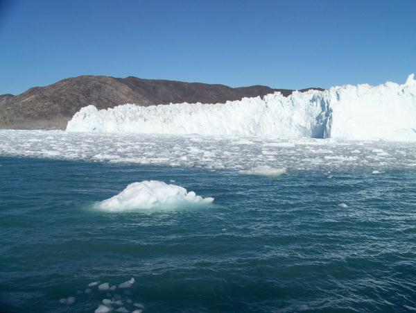
One of the most amazing sceneries in Greenland you will find at the Eqi glacier. The glacier is also known as “the calving glacier” because it is very often calving big pieces of ice which fall into the sea causing big vawes. If you are lucky to watch this you will also hear the sound of thunder when the ice breaks.
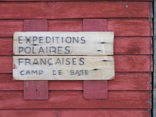
The French scientist Paul Emilie Victor (1907-1995) lived in Greenland for several years. He studied the icecap and his base was close to the Eqi glacier. You can still see the cottage where he lived.

He did expeditions to the icecap from 1948 to 1953. After World War 2 he used caterpillars from the American army to transport scientific equipment to the icecap. He choose Eqi because it is very easy to reach the icecap from here.
If you do an overnight stay at Ice Camp Eqi, you have the opotunity to hike to the glacier. There is a hiking trail to the rim. It will take you about 2 hours to reach the rim depending on your physically condition. You don’t need to do any dangerous climbing and the trail is well marked. The coordinates was made September 2009. Perhaps it isn’t possible for you to be exactly at the same spot. You must stay on the moraine layer and don’t attempt to walk on the ice!!!
To log this cache:
If by foot:
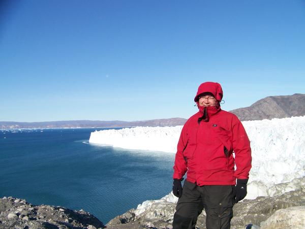
Stay as close to the coordinates as possible. Take a picture of yourself with the glacier in the background (optional)
Describe the surface where you are standing.
Estimate the elevation (meters above sea)
Mail the answers to me.

If only by boat :
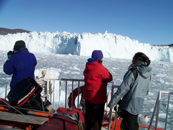
Optional:Take a picture of yourself standing on the deck with the glacier in the background.
Write the coordinates in a mail to my profile.
And answer the following questions:
What is the estimated height of the glacier?
Optional:What was the name of the boat you where sailing with?
Optional: what was the name of the captain?
Mail the answers to me.
Have a nice trip!

Additional Hints
(No hints available.)