The following must be done to log the cache.
- Visit the site (apparently I need to say that) and submit me the names of the group that you are with. If someone is submitting answers for you let me know who in your log
- Name of the dropped block - it is listed on the sign at the cache location
- Looking at the valley you are in, what evidence of the faulting can you see.
- With the block dropped and formed a recession look about you and let me know what formed here.
- Add a photo of you from the location or of an identifiable item (paper with trackable name). Posting a photo pulled from the internet, or photoshopped will result in instant deletion.
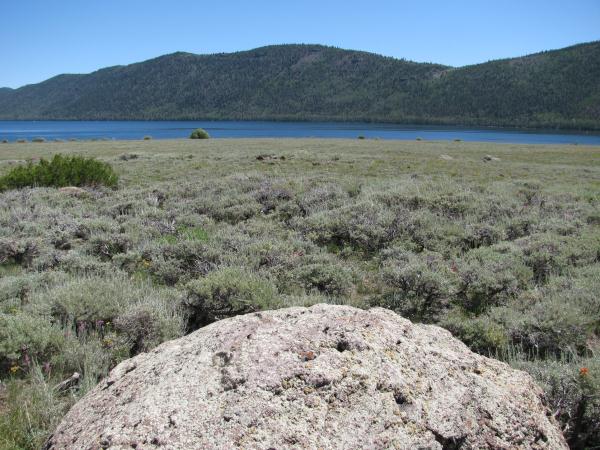 Image from the log of biggyj_cuda
Fishlake was formed as the land pulls apart from each other. In many instances this forms a large crack that is filled in later with volcanic material, water, or debris.
In some instances there forms two cracks (or faults). These cause the center bock that is seperate to fall or sink downward.
At fishlake the faults seperated and the center block sank. Creating a large depression that is lower than other sections of ground around it. This depression filled forming a large, deep lake.
Most of the lakes in utah tend to actually be man made resevoirs, and are misnamed as actual lakes. Fishlake is a natural lake about 127 feet at its deepest location. It is the highest lake in the area and the National forest in this area is named after this lake. It is known for trophy Lake trout that are caught year around in the lake.
In researching this I found a paper arguing how the lake has drained over the years. There are a few schools of thought. After the ground sank and the lake was formed, that the majority of the water drained underground before eventually draining into the river to the north. Another idea is that the lake drained to the south for many thousands of years until eventually it began to drain to the north due to another earthquake that dropped the north end to a lower altitude
