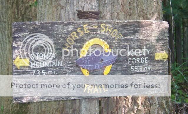
The Horse-Shoe Trail runs
140 miles though PA woodland from Valley Forge to Harrisburg. The
trail crosses into Lancaster County just northeast of Adamstown and
reaches a peak on Adamstown Ridge of over 1000 feet just
behind my property. This cache is placed short of this peak (due to
recent logging activity) only feet from the trail.
I lived here 20 years and have only once walked the climbing
stretch from Adamstown Road at Rt 897 to the far east side near the
other Adamstown Road across two peaks. My wife, daughters and
neighbors use this trail and many others along this ridge to hike
and ride horses but we only have the occasional out-of-area hikers
come through since there is almost no parking in the area of the
trail heads. Since this section is not heavily used it can be
somewhat overgrown. Be prepared for a rough hike on a narrow path
with some loose rocks.
The parking area is at 600
ft elev and the hike, just over a mile, takes you to the 1000 ft
peak of this ridge. Parking for this cache is recommended at the
below coordinates for Stoudtsburg Village with a 3/10 mile walk
along the roadside to the trail head (be careful, there are no
sidewalks). The trail head (see waypoints) begins on a stone lane
that follows the Horse-Shoe Trail for about 1/4 mile. This lane
crosses private property, as much of the Horse-Shoe Trail does, so
please be respectful. At the end of the stone lane is a reference
point (coords below). It is a marker for the trail and is also
pictured in this photo:

About 500 ft after this reference point the trail crosses
an open field with a fenced pasture. Go straight ahead and the
trail picks up to the left near a small red stable. The Horse-Shoe
Trail is marked on trees occasionally with horseshoes or a wide
stripe of yellow paint. Turns in the trail have double
stripes.