Minerals in the Shield EarthCache
-
Difficulty:
-

-
Terrain:
-

Size:  (other)
Please note Use of geocaching.com services is subject to the terms and conditions
in our disclaimer.
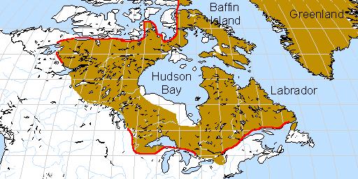
The Canadian Shield is a large
geographic area in Eastern and Central Canada composed of bare rock
dating to
the
Precambrian Period (between 4.5 billion and 540 million years
ago).
It is also known as the Precambrian Shield, or
the Laurentian
Shield.
It covers approximately 8 million square kilometers.
The
Canadian Shield is made up of some of the planet's oldest rock,
largely granite
and gneiss.
With a
little help from Father Time and Mother Nature the rocks that
now form the surface
of the Canadian Shield that
were once far below the earth's surface, have
become exposed in many locations
The high pressures and temperatures at those
depths created many forms of minerals in the rocks
The heat and pressure over
time infused strips and pockets of these minerals
into the granite and Gneiss
This transformation due to heat and pressure is known as
metamorphism.

The
shield is one of the world's richest areas in terms of mineral
ores.
It is
filled with substantial deposits of Copper, Iron, Nickle, Quartz,
Zinc ,Gold and
Silver
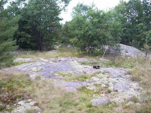
At the posted
coordinates you
will find a good example of Mineral
infusion.
Mineral Infusion, is a strip or deposit of a different type or
color of rock or mineral, infused or imbedded into the host
rock.
In order to log this earth cache, please send me the
answers to the following 3 questions through my GC.Com
profile.
At the Posted Coordinates.
1)What is the color, width and length of this strip of
mineral. (Can you guess what type it is?)
2)About 6 meters NW of this mineral are different strips of
rock
They are the same kind of
rock as their surroundings.
How are they different?
How do they differ from the first strips.
3)At the posted coordinates, what is your elevation?
Although pictures are not
mandatory, they are welcome (no spoiler pics please).
The area is beautiful,
so grab that camera for the hike in and out.
On your walk out to your
Geomobile, watch for other strips of this certain mineral.
You will see that
most run towards the North West, where other lines and striations
are sporadic
in direction.
As this area is an active hunting area, I ask that you
DO
NOT seek this Earth Cache the first 2 weeks of November
As well when in this area, stick to the ATV paths, and
wear Bright colors, preferably Orange
for safety.
Waypoint your car, and respect Mother
Natures back yard.
Parking and the Trail Head can be found at
N 44° 38.739
W 076° 51.636
Additional Hints
(No hints available.)