Vlakbij grenspaal 191, staat u op het hoogste punt van de provincie Noord-Brabant, 44 (43,7) meter boven NAP. Het natuurgebied 'Stevensbergen', dat 2 kilometer naar het noordwesten ligt, heeft stuifzandkoppen die bijna even hoog zijn. Vanaf dit punt naar het noorden daalt het Kempisch Plateau. De beken aan de Nederlandse kant stromen globaal gezien dan ook allemaal richting het noorden om uiteindelijk in de Maas uit te komen. De beken aan de Belgische kant stromen echter naar het westen waar ze uitmonden in de Schelde. De grens tussen Nederland en België vormt dan ook de waterscheiding tussen twee rivieren.
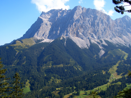
Zonder het paaltje, dat het hoogste punt markeert, zou het niet meevallen de exacte plaats te vinden. Een berg, zoals in de Alpen, is veel beter te herkennen.
Near the Dutch-Belgian border, you are on the highest point of the province 'Noord-Brabant', at 44 (43.7) meters above sea level. The nature reserve 'Stevensbergen', which lies 2 km to the northwest, is a drift-sand landscape with small hills that are almost as high. From this point north the 'Kempen Plateau' descends. Therefore the streams on the Dutch side stream towards north and eventually end up in the river Meuse. The streams on the Belgian side, however, flows to the west where they end up in the river Scheldt. The border between the Netherlands and Belgium is therefore the watershed between two rivers.
Without the pole which marks the highest point, it would be hard to find the right location. A mountain, like the Alps, is much more recognizable.
North: N 51°--.---'


East: E005°--.---'


