Dunyon Dell Cache
This cache is found in the Silver Fork area of Big Cottonwood Canyon. Silver Fork has an interesting history. It began in 1854 when Brigham Young organized the Big Cottonwood Lumber Co. Daniel H. Wells and others erected two water powered sawmills to produce timber and timber products such as shingles. Lumber from this area was used in the construction of the famous Mormon Tabernacle. The lumber men and their families lived at the mouth of what became Silver fork Canyon. Log homes, stores and post office were built to accommodate families. Silver Springs branch of the L.D.S. Cottonwood Ward was organized in 1858. The emphasis on lumbering operations began to change in the 1870’s when ore products were discovered in the vicinity. 21 silver mines were then developed and the local emphasis began to shift towards mining. One of Utah’s first smelters was built here. It was at this time that the lumbering community received the name Silver Fork.
As the lumber resources were depleted and the mines were worked out, the area reverted to grazing lands. Joy E. Dunyon homesteaded this area for sheep ranching in 1895. Later, transportation to and from the canyon improved and Dunyon’s children developed the land for cabins and summer homes. There is a historical marker on the highway.
Today, Silver fork thrives as a year round community. There is a second marker that honors those killed in a snow slide in Jan 1875 and are buried in the area. The coordinates of this marker are N 40 degrees 37.990 and W 111 degrees 38.877. The cache is a small cache container with some small toys for kids.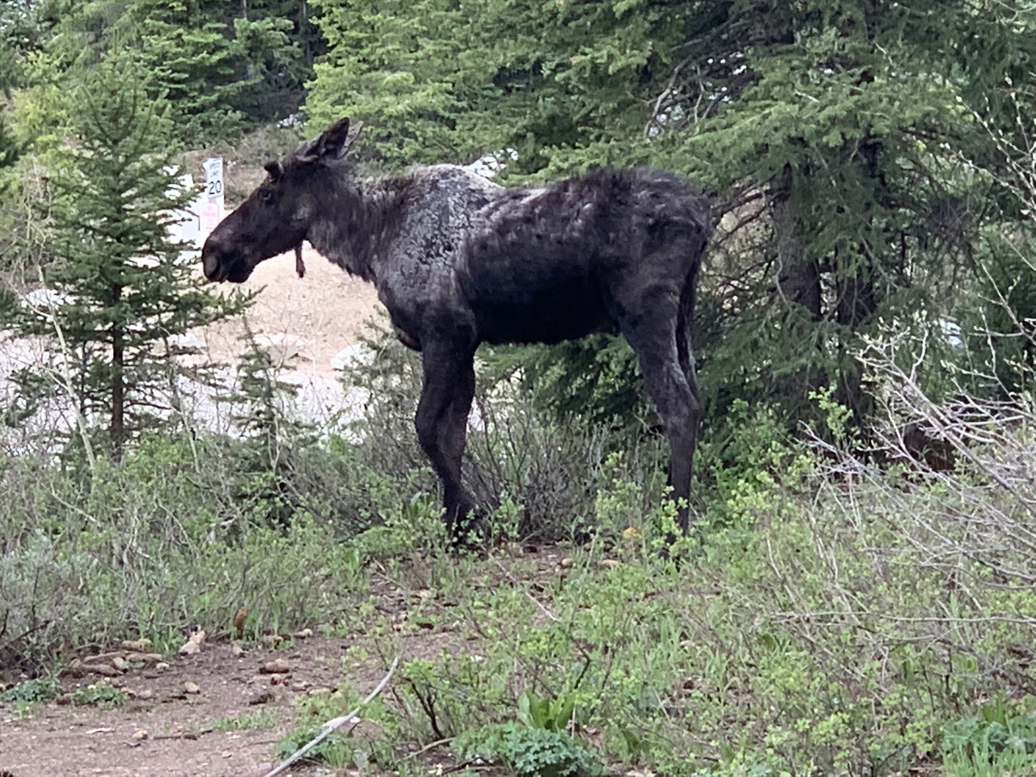 I've seen deer and moose in the area. A large female moose watched me place the cache from across the creek!! Let me know if you see any wildlife.