Beargrass Creek is the name given to several forks of a creek in
Jefferson County, Kentucky. The Beargrass Creek watershed is the
largest in the county, draining over 60 square miles (160 km2). As
the forks wind through the area that has become Louisville's East
End, they have contributed to the geography that has shaped the
area. The origin of the name "Beargrass" is not clear, though local
stories abound and it was written as "Bear Grass Creek" in early
maps. Lyndon Lore states, "The name Beargrass was originally Bear
Grasse, because the bears came to the creek for water and also for
salt from the salt licks which were located near Salt River."[1]
The earliest settlements by Europeans in the area were built in the
form of stations, or forts, along the banks of the creek. The three
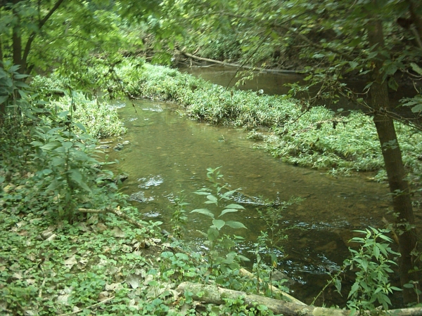
forks drain about 70 square miles (181 km²) of land, and
occasionally flood. The three main branches are the South, Middle
and Muddy Forks. They separate just east of Downtown Louisville.
The South Fork runs through Butchertown and Germantown to west of
Tyler Park, through the Poplar Level area (where the Beargrass
Creek State Nature Preserve is located) and eventually the Fern
Creek neighborhood. Eleven Jones Cave is located along this fork.
Posted coordinates will take you to 1 of 3 signs along the
Beargrass Creek Trail.
In order to log this cache, please answer to following questions
and e-mail to me.
1. From the sign at coordinates, name the six invasive plants
displayed on sign.
2. From sign to the left of sign at coordinates, name two ways
to improve our water systems.
3. Briefly describe the Riparian Buffer at GZ.
4. (optional) Post a photo of yourself or GPS at site.
Have fun, and enjoy the walk along this path.