Trail Map

Park at Allen Bill Pond and head up the Elbow Trail to R2, which
is the start of the new trail, approximately 100 meters past (east
of) the Fullerton Loop junction. Turn east off the Elbow Trail and
follow the very scenic Snag No More trail as it meanders along the
high north bank of the Elbow River. It climbs to a nice lookout
point above the set used for the TV series “North of
60” that is located on the south side of the river. It then
turns and follows a very nice line up a ridge to the top of
Snagmore Hill where the cache is located. The trail then continues
down the west side of the hill until it joins the Iron Springs
Trail at R3. Follow the Iron Springs Trail back to the Elbow Trail
at R4 and continue to your starting point at Allen Bill Pond. You
will have hiked approximately 9 kms with a moderate elevation gain
of 180 meters on this beautiful trail, which has, by the way,
received Mrs. BVPete’s stamp of approval!
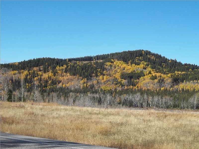
Snagmore Hill from Hwy 66