This is number 5 in a series of 10 caches placed along quiet country lanes in and around High Legh.

High Legh History
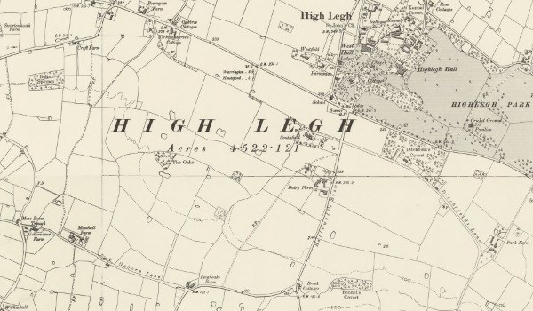
Unusually, for most of its history High Legh was the seat of two ancient landed gentry families: Leigh of West Hall and Cornwall-Legh of East Hall. The medieval boundary between the two parishes is known as Dobb Lane which harks back to the earliest days of High Legh — in the Domesday book one of the original Saxon lords was named "Dob".
High Legh has evidence of Roman occupation with archaeological surveys revealing barrows, fortifications and other dwellings as well as the two Roman roads crossing the area. Jewellery, tools and pottery from other parts of the Roman empire has been found here. High Legh developed into a thriving village with an inn and stables serving travellers on the turnpike road, now the A50. But in 1791 the village was completely demolished when the head of the family at the time, George John Legh, employed notable landscape architect Humphry Repton to "improve" his estate!
Today, its proximity to Manchester and Trafford has caused High Legh to be developed into a desirable commuter village. Continuing High Legh’s unusual history, on 10 October 2009 the High Legh Railway was opened! It is a miniature railway and although it runs along nearly a kilometre of track, it is not the most efficient means of transport to help you complete this series of caches, a task best accomplished by bike or on foot.
Finding This Series
If walking the whole series, it’s best done in numerical order so as not to criss cross your route. The route is a "figure of 8" about 4½ miles long and passes by local farms and some very nice houses. It is on good road surfaces but please be aware that, especially in winter, the roads can hold some water and can become quite muddy in places.
Parking can be found in a small lay-by just to the south-east of the FIRST cache in the series. We welcome logs highlighting any issues or any suggestions you have to improve this cache or the series. Good luck everyone!