Skip to content

Where Will the RR Go? (Adams/RR Centennial) Traditional Cache

This cache has been archived.

sandlanders: Checked on this one today, and the recent searchers were correct: the cache is gone.

This one has gone missing too often to justify its further existence, so we are archiving this cache. Our thanks go out to everyone who visited the area and who took the time to read about how it was decided where the railroad would go when it finally came to Adams County over 100 years ago.

More
Hidden : 6/28/2012
Difficulty:
1.5 out of 5
Terrain:
1.5 out of 5

Size: Size:   micro (micro)

Join now to view geocache location details. It's free!

Watch

How Geocaching Works

Please note Use of geocaching.com services is subject to the terms and conditions in our disclaimer.

Geocache Description:

This is one of several caches put out in 2012 to commemorate the centennial of the railroad coming to Adams County and the birth of Adams. Click on "Adams and the Railroad Centennial Caches" in the gallery on this cache page for more information. There may be additional photos in the gallery for some caches. The caches in this series are listed in a bookmark to the right.


Wisconsin became a state in 1848, and Adams County also celebrates that year as when it was formed. Most of the area was settled with farming and logging as the main livelihoods. However, after initial settlement, county growth was quite slow. Several efforts to bring a railroad to Adams County did not come to fruition, and as the nineteenth century came to a close, Adams was still the only existing county in Wisconsin without any rail service. Farmers in the center of the county had to take their livestock and produce across the river west to Necedah or ship their goods out of Coloma to the east to get things to market. There were more promises of a railroad in Adams County as the new century began, but it took the Chicago and Northwestern line to get the job done in late 1911.

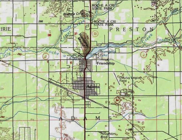
There are many theories as to why the tracks were laid so far south of the existing Friendship, the most popular one being that speculators bought up all the land along the proposed route, making the venture too expensive for that location. An old survey was used for the new line, and a look at a map of the county will show a slight bend in the route as the tracks head northwest. Airport Drive here at the south edge of Friendship is said to have been built on land originally cleared in anticipation of the railroad going through there.


This cache placed by a member of:
(click to visit our website)

Additional Hints (Decrypt)

Ernpu sbe gur ovfba ghor.... ohg abg gbb snfg.

Decryption Key

A|B|C|D|E|F|G|H|I|J|K|L|M
-------------------------
N|O|P|Q|R|S|T|U|V|W|X|Y|Z

(letter above equals below, and vice versa)