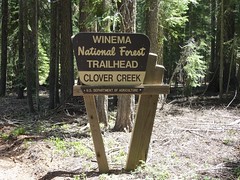
 Clover Creek Trailhead is the southern most entrance into the beautiful Mountain Lakes Wilderness. The Mountain Lakes Wilderness is an area located in the southern Cascade Range. It surrounds a cluster of four overlapping shield volcanoes, the highest of which is 8,208 ft, Aspen Butte. Over 20 small lakes lie along the bottoms of several large cirques carved by Ice Age glaciers near the summits of the volcanoes.
The Mountain Lakes Wilderness is unique among United States wilderness areas in that it is the only one whose borders form a square, occupying the 36 sq mile area of a single survey township.
This trail into the wilderness is only open to hikers and horseback riders. There is ample space for several horse trailers to park at the trailhead. There is also room to camp overnight, but there are no amenities. To access, take Clover Creek Road to FS Road 3852 and go to the end, about 3 miles.
You are looking for a plastic container with swag and a log.
Elevation - 5811'