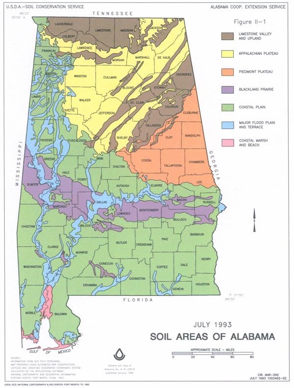
Bama's Black Belt Prairie
The University of Alabama Arboretum maintains plant collections for botanical education and appreciation. The Arboretum features walking trails through a native woodland section, a wildflower garden, a collection of ornamental plants, an experimental garden, and a children’s garden. Most of the Arboretum’s land was donated by the federal government to help support the University’s goals of promoting research and providing public education and service. Today the Arboretum is part of a national network that shares plant information with scientists, students and the public. The Arboretum is sponsored by the Department of Biological Sciences.
The Arboretum is open daily from 8AM until sunset, except on New Year’s Day, Thanksgiving, and Christmas. There is no admission charge for entrance. Tours are available by reservation. Please contact the arboretum for more information.
Once you arrive at the site, please be respectful and take only photos and leave only footprints. To log this cache you must answer the following questions.
1. The plants growing in the grassland in front of you are inhabitants of a geologically unique area of Alabama know as what?
2. Observe the area and tell me how long you think it took for this prairie to form?
3. About how many years ago would you say this region formed?
4. From your observations what plants do you see present here that classifies this as a prairie land?
5. What gave the soil its dark rich color?
6. The grasses and flowers in this representation of the region are specially adapted to the _____ _____ soil. (Fill in the blank)
7. Photos are encouraged but not required. Please feel free to take a photo of you or your group at the site.
E-mail the above answers along with the GC number and cache name to the following e-mail address CLICK HERE or through my profile. Any logs submitted without the above questions answered will be deleted. Please send your answers then log your find.
The Black Belt is a region located in Alabama, and part of the larger Black Belt Region of the Southern United States, which stretches from Texas to Maryland. The term originally referred to the region underlain by a thin layer of rich, black topsoil developed atop the chalk of the Selma Group, a geologic unit dating to the Cretaceous Period. The soils have been developing continuously at least since the Pliocene Epoch. Because the underlying chalk is nearly impermeable to groundwater, the black soils tend to dry out during the summer. The natural vegetation of the chalk belt consisted mainly of oak-hickory forest interspersed with short grass prairie, while the sandy ridges flanking the chalk belt supported pine forest.
Land Use: In Alabama and Mississippi, this area is about 58 percent woodland, 26 percent pastureland, and 14 percent cropland. The small outlier in Arkansas is about 40 percent pastureland, 33 percent woodland, and 25 percent cropland. Most soil areas have been disturbed, and only small remnants of the former prairie vegetation remain. About 2 percent of the area is used for urban development or for other purposes. Soybeans are the major crop, but corn, small grains, and cotton are also grown. Pastures are used mainly for beef production, but in some places dairying is an important industry. The woodland is about 75 to 80 percent privately owned, and about 20 to 25 percent is owned by industry. This is not a very productive woodland area. Controlling soil erosion and infestation of Johnson grass on soils that are cultivated are major concerns of management.
Elevation and topography: Elevation ranges from 80 to 350 ft. Some of the more prominent valley floors are less than 80 ft, and a few ridge tops exceed 350 ft. Valley floors, side slopes, and ridge tops are underlain by clay, marl, and chalk. Local relief is mainly a few meters.
Climate: Average annual precipitation: 48 to 56 inches. Maximum precipitations is early in winter, in spring, and in midsummer; the minimum is in autumn. Average annual temperature: 60 to 65 C, decreasing from south to north. Average freeze-free period: 220 to 260 days.
Water: Precipitation and perennial streams are important sources of water, but ground water from moderately deep and deep wells is the principal source for both domestic and municipal uses. Ponds provide water for livestock, and locally they are used for recreation. A few large reservoirs are available for recreation and other uses.
Soils: The dominant soils are Ochrepts and Udalfs. They are fine textured and have a thermic temperature regime, an udic moisture regime, and montmorillonitic or carbonatic mineralogy. They are mainly moderately deep to deep over soft limestone or chalk and typically shrink, swell, and crack. Well drained Eutrochrepts (Sumter series) and moderately well drained to poorly drained Hapludalfs (Oktibbeha and Vaiden series), all of which are nearly level to gently sloping and strongly sloping, are on wide ridge tops and narrow side slopes. Shallow Udorthents (Demopolis series) occur locally but are of small extent. Moderately well drained to poorly drained, nearly level to gently sloping Haplaquepts (Leeper series) and Chromuderts (Terouge series), Hapludolls (Catalpa series), and Pelluderts (Eutaw and Trinity series) are on bottom land and in low upland areas. The outer perimeter of the area is intermittently ringed with moderately well drained to somewhat poorly drained Paleudalfs (Boswell and Susquehanna series) and moderately well drained and well drained Hapludults (Saucul and Saffell series).
Potential natural vegetation: This area supports deciduous hardwood forest vegetation. Red oak, white oak, sweet gum, and black gum are the dominant over story species. Eastern red cedar, dogwood, and osage orange are major midstory species. Japanese honeysuckle, greenbrier, little bluestem, native lespedezas, plume grass, low panicums, sedges, and rushes are the dominant understory species.