Calder Island View Point EarthCache
-
Difficulty:
-

-
Terrain:
-

Size:  (not chosen)
Related Web Page
Please note Use of geocaching.com services is subject to the terms and conditions
in our disclaimer.
This Earthcahe sets out to demonstrate how man can make permanent changes to the landscape and geology of our world.

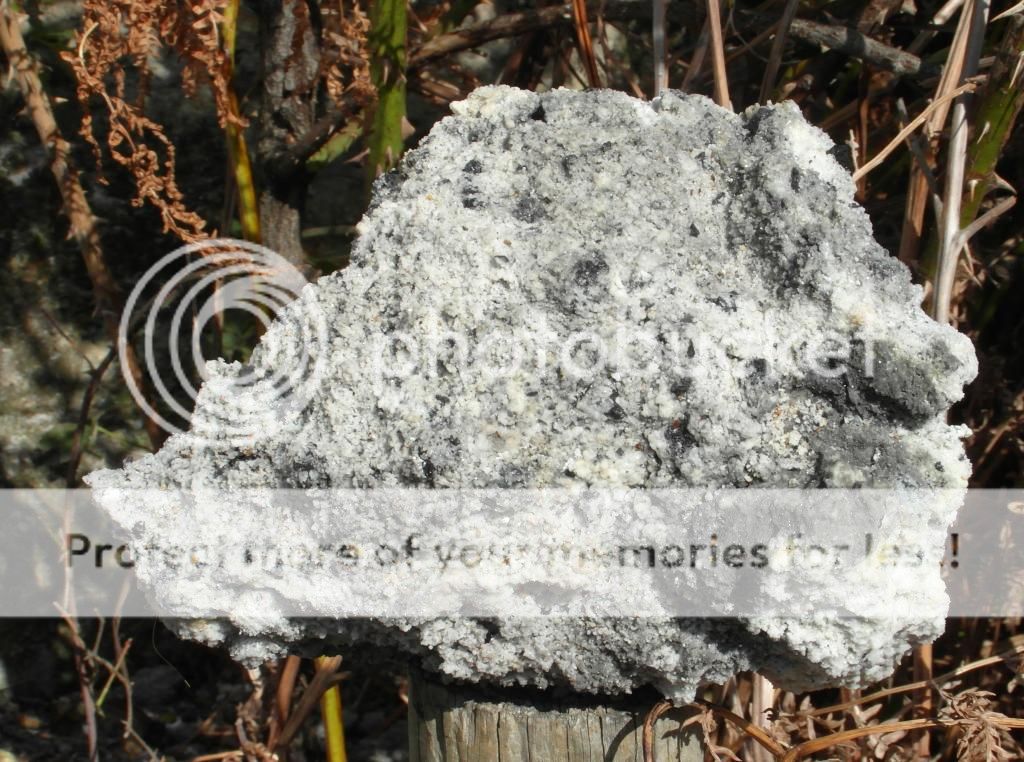
The casual observer would think the cliff in front of them was a natural outcrop, but this is not the case. It is a spoil heap from a local industry, now long gone. Most spoil heaps are caused by mining, but this one is made from “black ash”, a by-product of making household soap which was piled here from the mid-nineteenth century until 1906 when the factory producing it closed. .

At 199 metres long and 49 metres wide it must have been quite a job to create it. At first glance it appears to be composed of an almost tufa like, “rock”. However, closer observation shows this not to be the case. Trees, shrubs, grass and flowers have gradually become established so now it does not look out of place.
It seems the heap owes it position due to a long running dispute between Charles Waterton, still well known locally, and Edward (Soapy) Simpson, Follow the link for more information.

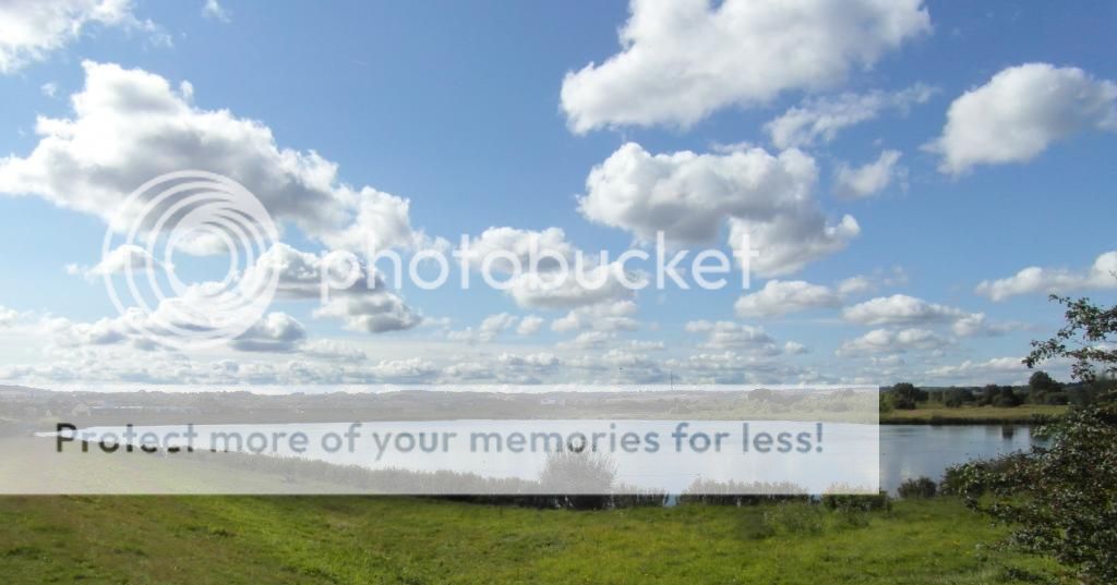
This is not the only change we have wrought – the vista seen from the top of the heap here would have been very different 30 years age when sand and aggregate was being extracted.

The river Calder running along the north of the heap has been much altered by the canal which runs parallel to the parts which could not be navigated. Locks allow entry to the canal and both the canal and river are managed. The lake is designed to take water during times of heavy flow to avoid flooding.
To log this cache you must visit the site and do some research. Walk along the base to N53 39.801 W1 30.766 and cross the stile. Take an elevation from your GPSr, climb the steps to the top, go to the highest point and take another reading, this will allow you to work out the height of the spoil heap. While up there look round at the views and reflect how nature makes up for man’s intrusion.
As you return stop at N53 39.799 W1 30.730 where a slip has occurred. Pick up a piece of the unweathered material and look closely at its structure.
Go to N53 39.741 W1 30.638 beside the lake. Although the water is not deep at this point, make sure children are under constant care. Kneel down and take some of the stones and bottom material and note its appearance. It is sandy and the few stones you can find have rounded edges.
Email me through my profile and answer the following questions.
- How high is the spoil heap (in metres).
- Describe the structure of the unweathered “rock”.
- When you observed the sample you took from the lake and noted its appearance you might have realised that it differs from aggregate commonly available which has sharp edges. Why is "traditional" or "natural" aggregate taken from areas like this smooth and rounded where most commercial sharp and angular?
You may log immediately after sending the email but logs without emails with the correct information will be deleted.
Congratulations to gingernutters for a speedy FTF
Additional Hints
(No hints available.)