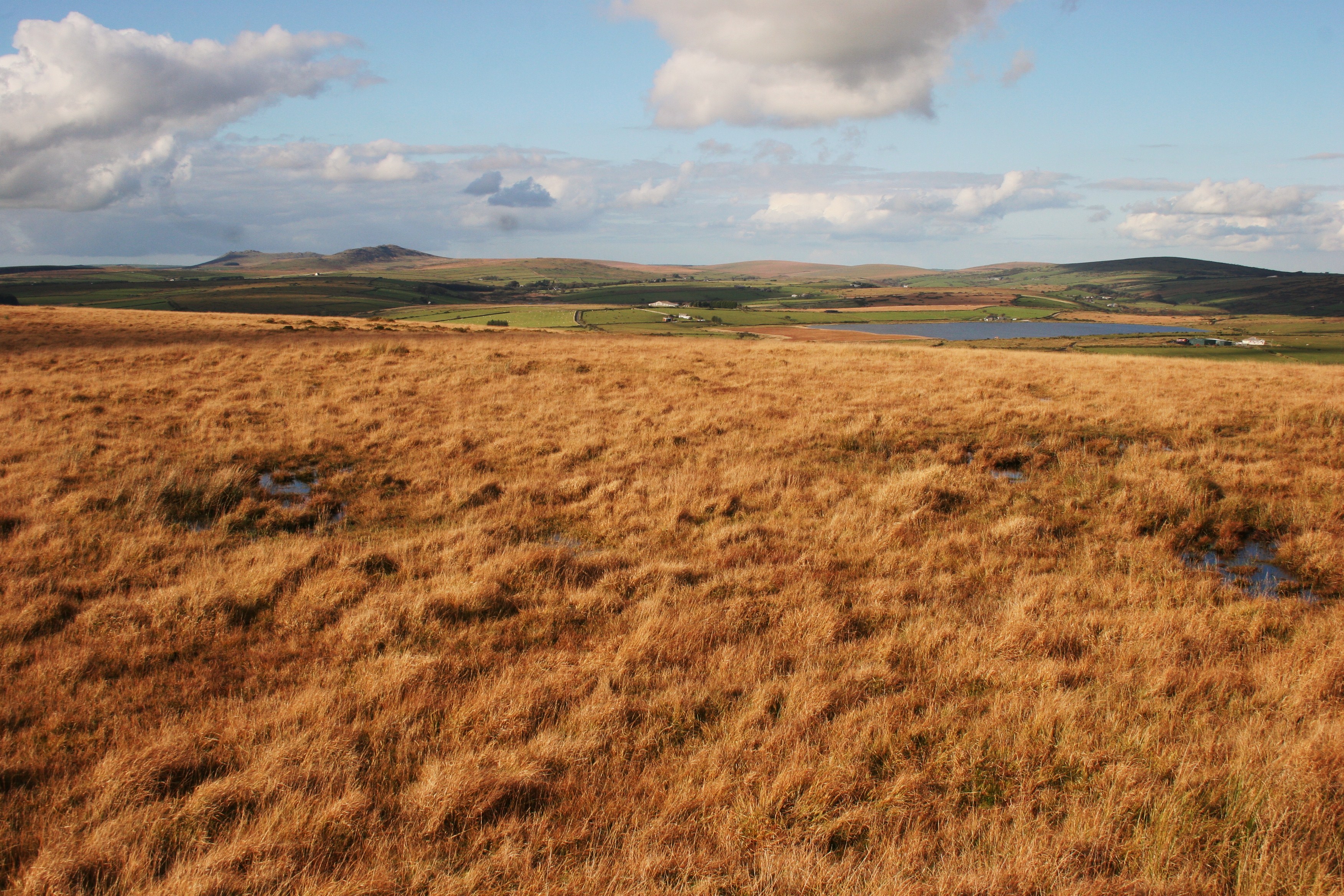
The cache is located near the top of Brown Gelly, providing some wonderful views and an unusual perspective over the eastern part of Bodmin Moor.
For some stunning 360° views it’s well worth the additional excursion abt. 250m North to the burial mounds and cairns that occupy the top. From here there is (in my opinion) one of the finest views of Brown Gelly’s big sisters, Roughtor and Brown Willy.
The fact that there are three barrows at the top indicates our ancestors thought this place was pretty special too. [note – the cache is not hidden in the cairns – please treat with respect!]
Not really a cache and dash sort of place – take the time to soak up the atmosphere (especially on a damp day!)
For those who wish to extend their walk, from the cairns on the ridge you can descend the eastern side of the hill abt. 500m to the Bronze Age settlement (near 50* 31.655N 4* 32.411W). Here there are well preserved hut circles which can be seen within a later medieval settlement.
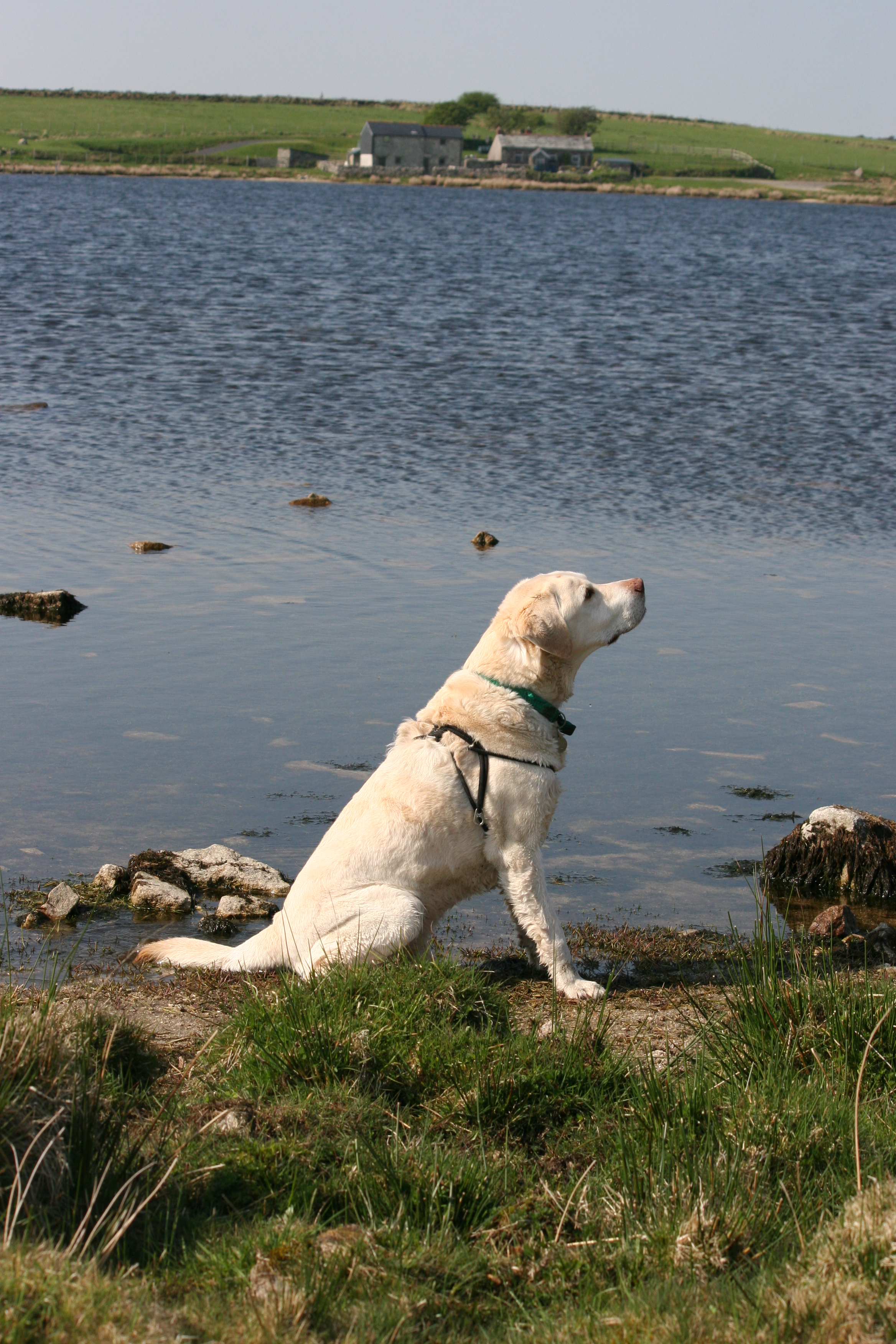
Oliver’s Expedition is in honour of our dear old Lab who loved this spot (he seemed especially attracted to the black puddles – can’t think why!)
The cache is a 1 litre lock-n-lock box containing logbook, pen and the usual sort of cache goods.
Note: as mentioned in recent logs, there is some parking available at the end of the road to the farm, but there are gates along the road (please leave gates as you find them), and do not obstruct gates or access points - ta!
Take the no-through road up to Lord’s Park Farm, passing through a gate after about ¼mile. A further ¼ mile along the road and you will see the hill up to your left. Keep left at the farm heading towards a collapsed barn. You will pass through another gate opening on to the moor. Follow the rough path, passing the barn to your left and picking up the telegraph poles as you go east. At the last pole you will see a gate in front (this is normally pretty wet!) – pass through the gate and head left up the hill towards the cache