Welcome to the Biscayne Bay Aquatic Preserves
This cache is located at Biscayne Bay Environmental Center, where the offices of the Biscayne Bay Aquatic Preserves are located. Please be aware there are no trespassing signs posted at certain locations on the property so do not go beyond these signs because it will be considered trespassing. You are welcome to explore the Butterfly Garden and walk across the parking lot to the bay and enjoy the view.
It amazing the hidden jewels that we have within our own cities, I been lucky enough to live in Miami since 1996 and I have to shamefully admit that I had no idea about these wonderful preserves until the time that we were lucky enough to speak in person with Pamela Sweeney Biscayne Bay Aquatic Preserves Manager about our wonderful and crazy game of geocaching. I promised her that a cache will be placed here mainly with the purpose of educating other cachers about the preserves while obtaining an easy yet rewarding smiley. So enjoy the cache, its location and knowledge.
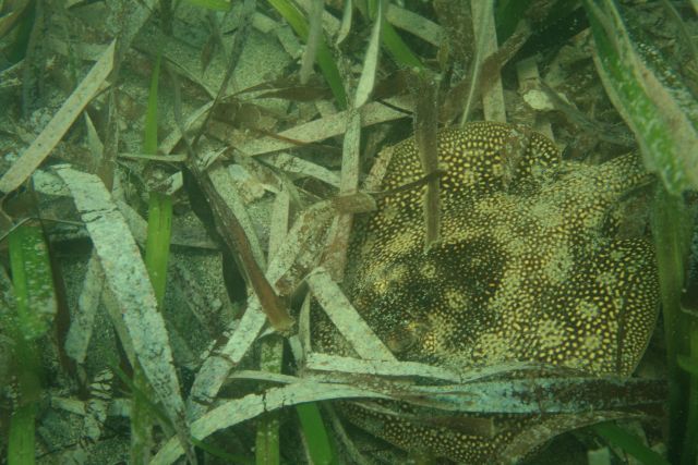
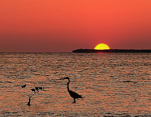
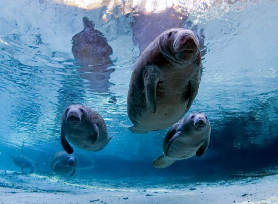
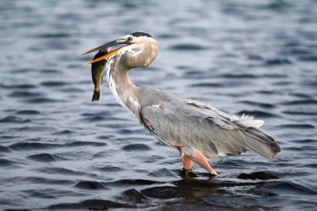
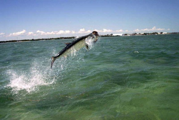
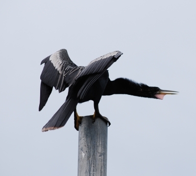
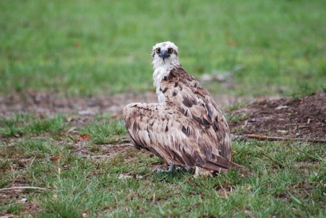
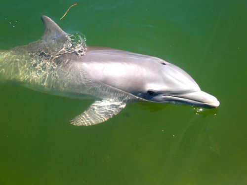
Much of Florida's distinctive character lies in the beauty of its coastline. The best of our coastal landscapes have been set aside for protection as aquatic preserves. This natural beauty has always been one of Florida's major attractions for both tourists and residents. Ironically, the very features that have drawn people to Florida are potentially endangered by the increased population pressures. Aquatic preserves protect the living waters of Florida to ensure that they will always be home for bird rookeries and fish nurseries ... freshwater springs and salt marshes ... sea grass meadows and mangrove forests.
These natural wonders offer a window into Florida's natural and cultural heritage. In 1975, with growing appreciation for their environmental diversity and alluring beauty, Florida enacted the Aquatic Preserve Act. This ensured that aquatic preserves' natural condition ... "their aesthetic, biological, and scientific values may endure for the enjoyment of future generations."

Today, Florida is fortunate to have 41 aquatic preserves, encompassing approximately 2.2 million acres. All but four of these "submerged lands of exceptional beauty" are located along Florida's 8,400 miles of coastline in the shallow waters of marshes and estuaries. These waters are ours to enjoy and ours to protect.
Two Aquatic Preserves are named for Biscayne Bay. The first was founded in 1974 as the Biscayne Bay Aquatic Preserve. Its boundaries include the inshore waters and natural waterways connected to Biscayne Bay from the Oleta River in the north to the Card Sound Road bridge between the mainland and northern Key Largo, with Biscayne National Park removed. This leaves two separate areas of state management; the northernmost area is bounded by the headwaters of the Oleta River south to Cape Florida on the east, and just south of Chicken Key and the Deering Estate on the west. The southernmost section begins just south of the Arsenicker Keys on the west and Broad Creek on the east and ends south of Little Card Sound (at the Card Sound Road bridge).
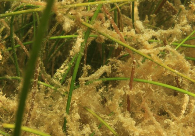
The barrier islands of Miami Beach, Fisher Island, Virginia Key, and Key Biscayne form the eastern border of the northern section. The residential developments along the mainland shore and the Miami central business district form the western border. The construction of causeways and the Port of Miami and other dredged islands have subdivided the northern preserve into eight basins. Dredge and fill projects have altered the northern bay with channels too deep for seagrass growth. Despite the development that has taken place in the northern bay there still are areas with abundant seagrass beds and mangrove fringe forests in certain areas. State, county, and city parks provide a variety of access points and possible recreational activities within Biscayne Bay. Swimming, kayak rentals, historic tours, and picnicking are a few of the activities that visitors and residents can enjoy atOleta River State Park, the Barnacle Historic State Park, and Bill Baggs Cape Florida State Park in the northern part of the Aquatic Preserve.
The southern part of the preserve consists of Card Sound and Little Card Sound, located between the southeast mainland of Florida and the northern end of Key Largo, in Miami-Dade and Monroe counties. This portion of Biscayne Bay Aquatic Preserve is part of a larger area of protected marine environments and is included within the Florida Keys National Marine Sanctuary boundaries. Biscayne National Park is located to the north. Protected areas include mangrove creeks and islands of mangroves and hammocks managed by the Crocodile Lakes National Wildlife Refuge, John Pennekamp Coral Reef State Park, and the Dagny Johnson Key Largo Hammock Botanical State Park. The mainland shoreline is primarily undeveloped and is lined with mangroves. On the seaward side of the Sound, access to the offshore areas and water circulation are restricted by the presence of islands (or keys) with few tidal inlets. There is an exposed shallow ridge of limestone adjacent to the western shoreline where water depths are less that six feet at low tide. The submerged ledge extends more than three or four miles from shore and generally supports lush seagrass and hard bottom communities. In contrast to the urbanized northern portion of the preserve, Card Sound has the distinction of being one of the most pristine areas in coastal South Florida.
The second aquatic preserve named for Biscayne Bay was founded as the Biscayne Bay - Cape Florida to Monroe County Line Aquatic Preserve in 1975. Much of the submerged lands and islands originally included within the boundaries are now within either Biscayne National Park or within the larger Biscayne Bay Aquatic Preserve. The original boundaries began off-shore of southern Key Biscayne, extended out to the edge of Florida state waters and then went southward to the county line dividing Miami-Dade and Monroe counties. The boundary returned northward along the Intra-coastal Waterway except where it included a series of shallow banks called the Featherbeds. The preserve concluded back at southern Key Biscayne including the waters of Bill Baggs Cape Florida State Park. Today, the remnant of this Aquatic Preserve which is not included in the Biscayne Bay Aquatic Preserve or Biscayne National Park is approximately 4,000 acres off the eastern shore of Key Biscayne.
In 1974 the Biscayne Bay Aquatic Preserve was established by the Florida Legislature "to be preserved in an essentially natural condition so that its biological and aesthetic values may endure for the enjoyment of future generations" according to its designation in Chapter 258.397, Florida Statutes. Its boundaries, management authorities, and rules are established in Florida Administrative Code Chapter 18-18.
The Biscayne Bay-Cape Florida to Monroe County Line Aquatic Preserve is described in Florida Statute 258.39(11) . The Legislative intent for establishing this aquatic preserve is stated in Section 258.36, F.S.: "It is the intent of the Legislature that the state-owned submerged lands in areas which have exceptional biological, aesthetic, and scientific value, as hereinafter described, be set aside forever as aquatic preserves or sanctuaries for the benefit of future generations."
Location
Counties: Miami-Dade, Monroe Nearby City: Miami, Florida Adjacent to U.S. Highway 1

Both aquatic preserves together have approximately 67,000 acres of submerged lands; The Biscayne Bay Aquatic Preserves 63,000 acres are divided between the northern section with approximately 49,000 acres and 14,000 acres in the southern section. The Biscayne Bay Cape Florida to Monroe County Line Aquatic Preserve has approximately 4,000 acres.
The preserves would like encourage people to like Friends of Biscayne Bay on Facebook and if they want to go out on a guided tour you can email our staff: Biscayne.Bay@dep.state.fl.us or contact Tropical Audubon Society that we partner with to do kayak tours: director@tropicalaudubon.org.


Permission for placement granted by Pamela Sweeney, Biscayne Bay Aquatic Preserves Manager