Headwaters of the Estero River EarthCache
Headwaters of the Estero River
-
Difficulty:
-

-
Terrain:
-

Size:  (other)
Please note Use of geocaching.com services is subject to the terms and conditions
in our disclaimer.
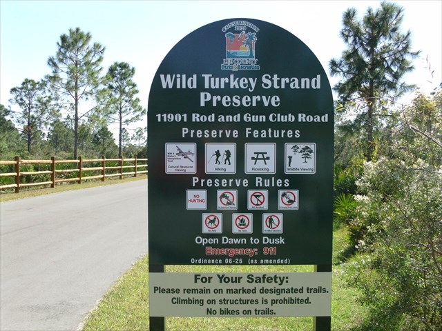
An EarthCache in the new Wild Turkey Strand Preserve.
The Estero River Watershed boundary contains approximately 66 square miles of area, including the Halfway Creek Watershed of 5.4 square miles. The basin is located in the south-central portion of Lee County, Florida; and is bordered by Estero Bay to the west, Halfway Creek basin to the south, Imperial River Watershed to the south and east, Orange River Watershed to the north, and Six Mile Cypress and Mullock Creek watersheds to the north and west. Boundary lines are based upon SFWMD permit data, FDOT drainage calculations and topographic aerial maps, and verified by field reconnaissance. The watershed is approximately 15 miles in length and averages four miles in width.
The Northern boundary is created by route 82 and its' elevated roadbed. All rain falling North of route 82 flows North and eventually reaches the Caloosahatchee River. The newly opened "Wild Turkey Strand Preserve" encompasses the "Head Waters" of the Estero River. All water falling in this area drains South West and eventually forms the Estero River. The Estero eventually empties into Estero Bay and then joins the Gulf of Mexico by way of several inlets. Due to the very flat topography of South West Florida, it is quite difficult to determine the exact boundaries of "drainage" areas for the individual streams and rivers in this area. The "Continental Divide" is a great example of the division of water sheds. All precipitation falling West of the Divide eventually ends up in the Pacific Ocean. All precipitation falling East of the Divide ends up in the Atlantic Ocean (some of it passes through the Gulf of Mexico first).
The Wild Turkey Strand Preserve was established to ensure that the water flowing into the Estero River would be protected at its source from development. Further downstream there is considerable development and this affects the quality of the water greatly. The Preserve also encompasses a portion of the Buckingham Gunnery Range from WW II. Some remains from this installation can be seen as well as excellent information plaques about the area's history. There is a 1.8 mile walkway (About 1/3 wheelchair accessible) that allows visitors to view the wetlands that comprise the "Head Waters" of the Estero River. With luck, many animals and birds can be sighted also. For the adventurous, you can venture South following the course of the water. No established trails are available in this area, however at the present time. Due to the relatively compact size of the watershed for the Estero River, the visitor can get a glimpse of how a river gets its' start, by visiting this Preserve.
Congratulations to MCF1nder and Mamma11ama on the FTF
To get credit for this EarthCache, email me the answers to the following questions.
1 Can you find an actual "Stream" in the preserve?
2 How deep does the water appear to be at the end of the Southern portion of the Paved path and boardwalk?
3 Describe what a "Watershed" is.
4 Why(or "What")is this the Northern extent of the "Head Waters?"
Additional Hints
(Decrypt)
Cbegvbaf bs gur genvyf pna or haqre jngre va gur "Enval Frnfba."
Treasures
You'll collect a digital Treasure from one of these collections when you find and log this geocache:

Loading Treasures