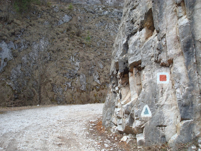
[RO] Cheile Pociovaliștei constituie o rezervație naturală de tip mixt care alcătuiesc o arie protejată de interes național. Rezervatia este situată în partea de est a masivului Muntele Mare, respectiv în extremitatea de nord a județului Alba, la granița către județul Cluj, pe teritoriul comunei Ocoliș, la cca 1,5 km vest de satul Runc. Este o rezervație complexă, constituită din forme de relief pitorești, o asociație de abrupturi prăpăstioase, creste, turnuri, țancuri și hornuri. Căi de acces: pe DN 75 Turda-Câmpeni, până la confluența Văii Ocolișului cu Arieșul, apoi pe drumul comunal spre nord, pe Valea Ocolișului, aproximativ 4 km până în satul Runc, la confluența Văii Ocolișului cu pârâul Pociovaliștei. De aici spre vest, în lungul pârâului Pociovaliștei 1,5 km.
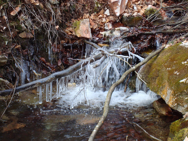
Terenul este proprietate de stat (administrat de Ocolul Silvic “Romsilva”). Modul de folosință a terenului: păduri, pajiști, stâncării neproductive. Suprafața rezervației: 25 ha. Cheile Pociovalistei reprezinta o atractie turistica locala si poate fi vizitata din satul Runc pe drumul de exploatare din lungul Vaii Pociovalistei. Ofera conditii pentru a fi inclusa intr-un circuit turistic, care ar include rezervatiile Cheile Runcului si sesul Craiului – Scarita – Belioara. Noi am ales traseul Runcu - Cheile Pociovalistei - Lunca Larga - Cheile Runcului - Runcu. Harta si traseul se pot vedea aici.
[EN] Pociovaliştei Gorge is a nature reserve comprising a protected area of national interest. The gorge is located in the eastern part of Muntele Mare massif, namely the far north of Alba County, bordering the county of Cluj, the municipality Ocoliş, about 1.5 km west of the village Runc. It is a complex landscape consisting of scenic landforms, an association of steep slopes, ridges, towers, tanks and chimneys. Accessibility: DN 75 Turda - Campeni until to the confluence of Ocolis creek with Aries, then the communal road north in Ocolis Valley, about 4 km to the village Runc. From there west along the creek Pociovaliştei 1.5 km.
The land is owned by the state (managed by Forest Range "Romsilva"). The land is divided into forests, meadows and unproductivec liffs. The Reserve Area has 25 hectares. Pociovalistei Gorge is a local tourist attraction and can be visited from the village Runc on the road going along the Valley Pociovalistei. The area provides conditions to be included in a tour that would include reserves Runcului Gorges and Belioara. We chose the route Runcu village - Pociovalistei Gorges - Lunca Larga village - Runcului Gorges - Runcu village. Map and route can be seen here.