Credit River - USS Jeannette Traditional Cache
Credit River - USS Jeannette
-
Difficulty:
-

-
Terrain:
-

Size:  (large)
Please note Use of geocaching.com services is subject to the terms and conditions
in our disclaimer.
Credit River - Shipwreck Series
USS Jeannette
June 13, 1881

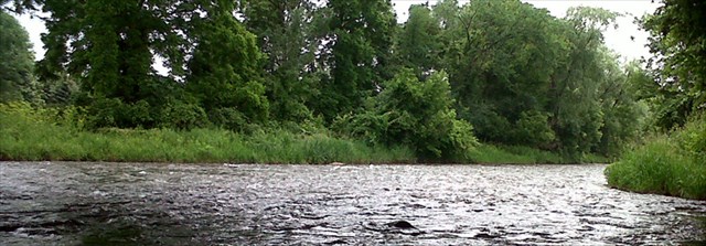
There are many shipwrecks around the world. Some very famous and others not so. Each however has it’s own story to tell. As you travel along the Credit River doing this series of caches, we have highlighted a number of these shipwrecks. During low water levels on these parts of the Credit River, you need to be careful in a canoe or kayak so as you don’t wind up in your own shipwreck. Besides the many large rocks along the way, there are also some other obstacles such as dams which should be avoided. All of the geocaches in this series have been placed by tubing, inflatable boat or on foot by walking in the water along the Credit River. Whichever way you choose to search for these caches, use caution and common sense.
More information about this series can be found here: Credit River - Shipwreck Series
USS Jeannette

Arctic voyage:
Jeannette departed San Francisco on 8 July 1879, the Secretary of the Navy having added to her original instructions the task of searching for the long-overdue Swedish polar expedition of Adolf Erik Nordenskiöld (whose ship Vega had successfully traversed the Northeast Passage). Jeannette pushed northward to Alaska's Norton Sound and sent her last communication to Washington before starting north from St. Lawrence Bay, Siberia on 27 August.
Under Lt. Cdr. DeLong's direction the ship sailed across the Chukchi Sea and sighted Herald Island on 4 September. Soon afterward she was caught fast in the ice pack near Wrangel Island at 71°35'N 175°6'E / 71.583°N 175.100°E / 71.583; 175.100. For the next 21 months, Jeannette drifted to the northwest, ever-closer to DeLong's goal, the North Pole itself. He described in his journal the important scientific records kept by the party: "A full meteorological record is kept, soundings are taken, astronomical observations made and positions computed, dip and declination of the needle observed and recorded… everything we can do is done as faithfully, as strictly, as mathematically as if we were at the Pole itself, or the lives of millions depended on our adherence to routine." In May 1881, two islands were discovered and named Jeannette and Henrietta. In June, Bennett Island was discovered and claimed for the U.S. On the night of 12 June, the pressure of the ice finally began to crush Jeannette when they had reached 77°15'N 154°59'E / ?77.250°N 154.983°E / 77.250; 154.983. DeLong and his men unloaded provisions and equipment onto the ice pack and the ship sank the following morning.
Additional Hints
(Decrypt)
Pyvzo gung onax naq lbh fubhyq or noyr gb frr sebz gurer