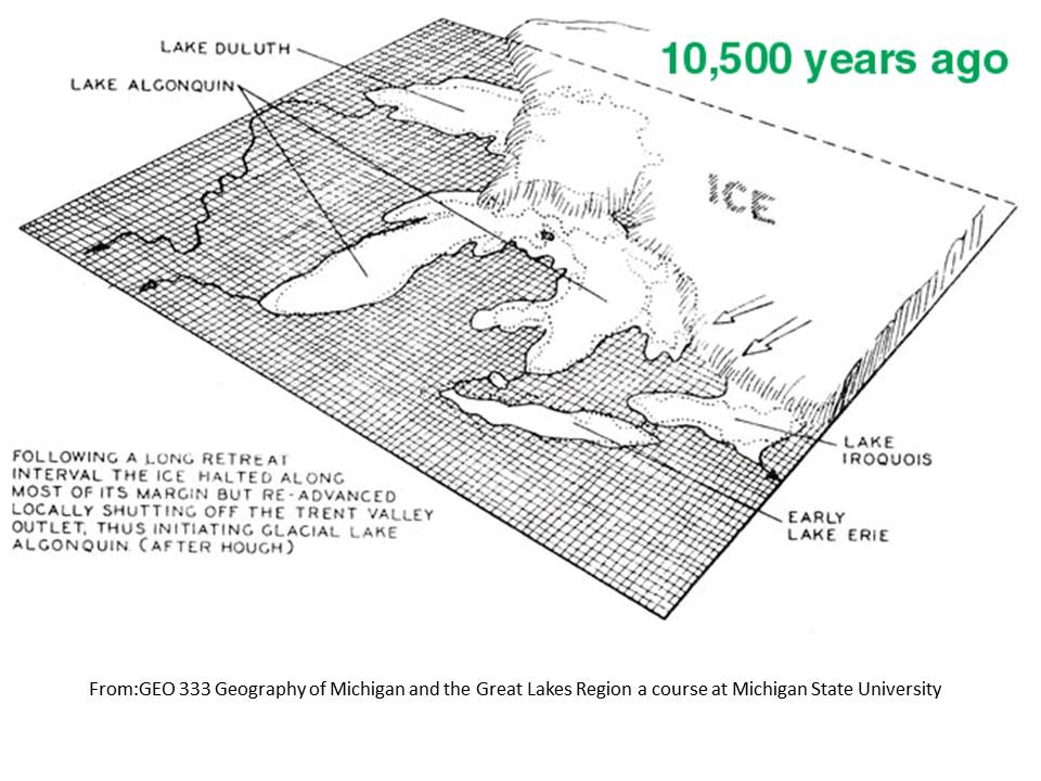
At about year 11000 BP (Before the Present) as the last ice age glacier was melting and receding northward this area was covered by the waters of a huge lake called Lake Algonquin, which occupied the area of the northern part of what is now Lake Michigan and Lake Huron. As the weight of the ice reduced the land started tilting upwards. Over time this resulted in changes in the level of the lake, the area it covered, its shore lines and even the exit routes for the water to make its way to the ocean.
For about 5000 years the lake drained through North Bay in northern Canada. Around year 6000 BP the shape of the lake changed significantly. Outflow began at Port Huron and Chicago. The lake was then referred to as Nipissing Great Lakes.
Beginning about 4000 BP the outflow from North Bay and Chicago was cut off by changes in land levels and the lake levels changed again. These lakes are referred to as Algoma Great Lakes. At around 3000 BP the level lowered to about its modern levels. Each of these periods of lake levels over time, because of the depositing of silt and sand on the bottom of the lakes, established terraces which can still be seen in many places today.
Antrim Algonquin Earth Cache was developed here in the Antrim Creek Natural Area because evidence of the geological history of glacial Lake Algonquin may be observed here in a compact location on public land. The Antrim Creek Natural Area has useful infrastructure for this study including parking, trails and well maintained information kiosks. In working on this Earth Cache you will be walking on a trail that will allow you to observe first-hand the historic terraces or beaches from that of Lake Algonquin to the present day. The posted coordinates will take you to a very nice information kiosk which shows several aspects of the Geology, History, and Nature of the area. You will observe a diagram which demonstrates the stages of the glacial lakes we have been talking about. You will probably want to return to this display after performing the required tasks to assist you in answering some of the questions.
Next refer to the coordinates in the Waypoint Table and put them in your GPS device. These will take you to stopping points along the trail where you will be making the required observations.
REQUIRED TASKS
1. Follow the trail to each of the locations shown in the Waypoint table. Using the Altimeter function of your GPS device* measure and record the altitude of the ground level at that point. (place your GPS device on the ground for this measurement). Describe your Surroundings at each stop from a geological standpoint such as the soil, stones and rocks.
2. Return to the information kiosk and decide which stopping point corresponds to which beaches represented on the diagram. Record your answers for submission.
3. The Lake Algonquin beach level is outside the park at Stop 6. To reach that spot, upon leaving the park turn right. Turn left on the first road. Stop 6 is at the top of the hill. Measure and record its altitude.
4. Calculate how many feet above the present lake level each lake level was.
5. Please tell us something you discovered or learned by doing this Earth Cache
Please submit your answers to the questions in the form found HERE (preferred) or by E-mail through our profile.
In developing this Earth Cache we made our best guesses, based upon our research. The locations of the terraces could be off some. Because the areas closer to the lake are subjected to the effects of wind- blown sand and erosion, it would require a professional geologist making an extensive survey to make more accurate measurements. Antrim Creek, next to the trail is also interesting to observe. Over the centuries it has cut down through the sand and gravel, pushing much of it out into the lake forming a delta. You probably saw the sand bar peninsula out in the lake near Stop 5.
You are welcome (but not required) to post a picture with your log but please do NOT include a picture of the map in the kiosk.
*For information about calibrating the altimeter in your GPS device click HERE.
This Earth Cache was established by permission of the Antrim Creek Natural Area Commission and unanimous affirmative vote of the Antrim County Board of Commissioners.