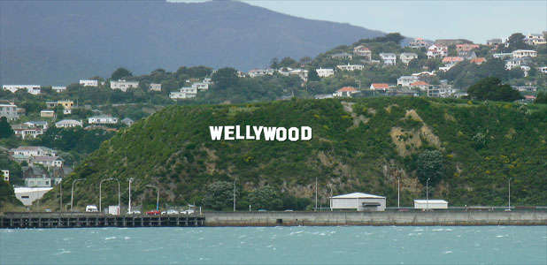
Welcome to WELLYWOOD, a series of caches designed to enlighten you and show you around some of the wonderful locations in 'the coolest little capital of the world'.
You will be required to do some 'pre-work' to complete and find some of these caches, while others will require you to do some exploring 'out in the field', and some will require a combination of both. Most caches can be found in the greater Wellington area, although there may be a few that are further afield. We hope you enjoy the series.
 Mungavin Homestead
Patrick Mungavin was born in 1853 on the ship carrying his parents to New Zealand from Ireland. The family purchased 365 acres of land to the east of the present railway line at Porirua. It was this land that was later inherited by Mungavin and it covered much of what is now the suburb of Porirua East and extended north to Cannons Creek. The homestead was built on a small rise at the south-western part of the farm in 1915 for £1,300.
The 3.5 acres (1.4 hectares) of landscaped grounds originally around the house were developed by Alfred Buxton of Christchurch, a well-known landscape designer of the day, for a handsome fee, said to be £1,000. The grounds were bordered to the north by the meandering Porirua Stream, extended to the west past the position of the present railway station, to the south at least to the foot of the rise (at the end of the driveway) and an unknown distance to the east.
The grounds were arranged in a scenic way sympathetic to the pastoral setting of the house in the Porirua basin. The grounds included a tennis court, an artificial lake fed by the Porirua Stream, a large orchard, many exotic specimen trees (including a magnificent golden macrocarpa that still stands) and extensive formal gardens. Native trees were planted on exposed banks and as an under-storey to the exotic trees.
 Mungavin Homestead Gardens, 1918. Photo from Pataka Museum Collection, at Porirua Library ref A.1a.37.
Over time, the grounds have been progressively reduced by the encroachment of transport infrastructure work and by state housing development. The first serious reduction came in 1928 when a large block of land to the west was appropriated by the government to construct the rail line - the railway station now stands roughly opposite the house, 180m away, and on part of the former gardens - this left the gardens more or less intact but with their pastoral setting irretrievably altered.
In the late 1940s compulsory acquisition of a large section of the farm for state housing development drastically reduced the size of the estate. The Mungavin family were paid compensation of £100 per acre, but were left with an uneconomical farm.
The landscaped grounds were significantly impacted by the development of the motorway from the 1950s through to the 1990s. Between 1950 and 1990 the motorway was progressively straightened and widened and now the centreline of the motorway passes through the location of the original tennis court. In 1958 the family sold the property.
The house had a variety of uses, including the No.41 Air Training Corps squadron, the Salvation Army and the Hartham Centre, an arts and craft society. The building became progressively run down and there was debate concerning whether it should be restored or demolished. After vigorous debate, the Porirua City Council purchased the house in 1986/87 for community use and it stood vacant pending motorway works, a future move, and restoration.
Late in 1987 the homestead was moved 38 metres to the east to create space for a slip road to the Mungavin Interchange (Kapi-Mana News 24/11/1987); the building remained vacant. In both 1988 and 1989 there were serious fires, both arsons, which caused significant damage to the house. The building was subsequently restored by Porirua City Council and then converted into a restaurant which opened in 1990. It is now an Indian restaurant.
To complete this cache you'll need to head out to Mungavin House and find a spot where you can sit, reflect and calculate.
Cache can be found at S41 ab.cde E174 fg.hij
a = Number of visible chimneys on house less number of trees in 'island'
b = Number of lights above you plus number of 'closed' sides
c = Number of thick hanging ropes
d = Number of posts on left
e = Number of pinkish crosses
f = Number of posts on right
g = Choose any number you like... but reflect carefully. You don't want to go too far
h = Total number of posts less c
i = h
j = Number of large boulders between you and the tree plus the number of poles around where you're sitting