Skip to content

Yellow Birch Ravine - Arch EarthCache

Hidden : 2/11/2014
Difficulty:
2.5 out of 5
Terrain:
3.5 out of 5

Size: Size:   not chosen (not chosen)

Join now to view geocache location details. It's free!

Watch

How Geocaching Works

Please note Use of geocaching.com services is subject to the terms and conditions in our disclaimer.

Geocache Description:


Welcome to Yellow Birch Ravine!

Overview

Yellow Birch Ravine is a dedicated state nature preserve located south of Taswell in Crawford County, Indiana. Its 441 acres of rugged beauty feature rare plants, such as mountain laurel, and a variety of trees, including hemlocks, beeches, maples, and the yellow birches from which it gets its name.

The ravine bottoms are traversed by small creeks that wind amongst the sandstone cliffs and limestone bluffs that add to this area’s spectacular beauty. Many of the cliffs and rock formations you will see in this area are sandstone from the Tar Springs Formation, which developed during the Mississippian Period. This area is also one of only a couple areas in the state (the other being around Branchville) where you can see examples of Tick Ridge sandstone, which can be seen in thick outcrops that form steep slopes and overhanging cliffs.

Natural Arch and Other Erosional Features


The water that flows over the waterfalls and along the stream beds of Yellow Birch Ravine constantly erodes the surfaces it touches. Its effects can be seen in many areas throughout the ravine. The most spectacular by far, though, is the natural arch (sometimes called a natural bridge) that can be seen at the posted coordinates.

NOTE: The picture above is a view of the ravine taken from the top of the arch at the posted coordinates. It is NOT necessary to hike to the top of the arch to log this EarthCache. If you want to do so, however, simply follow the footpath that ascends the slope to the left of the arch. Use extreme caution in this area, as the area can be slippery when wet or frozen.

We first discovered this arch when we found an old geocache here that has since been archived: Nature’s Toll Bridge (GCHGAJ). That cache took us across and above the natural arch to see the waterfalls that formed the natural arch (see Upper Waterfalls waypoint for coordinates).

The natural arch at the posted coordinates might be the longest of its kind in Indiana. It was formed when the water flowing over the nearby cliff face eroded layers of softer sandstone that lie underneath the harder layers of bedrock. When you stand atop the natural arch, you can easily see where the water flows and how it shaped the arch.


The natural arch is not the only erosional feature you’ll find in Yellow Birch Ravine, though. Much of the sandstone in this area is “honeycombed” by weathering of iron ores. Sandstone is inconsistent in its strength and friability. As water washes over the sandstones, the soluble minerals dissolve, leaving behind pit-like features on the rock surfaces. This process is called honeycomb weathering and can be seen in the photo above.

You will find many areas with rock formations that are good examples of honeycomb weathering. This type of weathering occurs throughout the world for various reasons, including wind erosion, exfoliation, frost shattering, and salt weathering, in addition to the water-related weathering of iron ores seen at Yellow Birch Ravine.


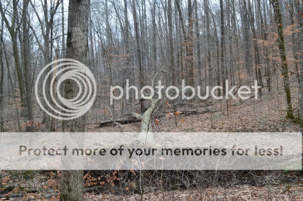
As you walk alongside the stream beds, you’ll also notice other evidence of erosional features. In some areas, you can see exposed rock layers that form small overhangs, as the water erodes the softer, lower levels. You’ll also see examples of soil erosion that has led to the downfall of large trees.

Hiking the Trail

Please park at the listed parking coordinates. Do not park on the county road! You will cross the county road heading east and cross a creek immediately. Follow the footpaths that closely follow the creek beds. Since this is a nature preserve, please take only pictures and leave only footprints. This is a unique place that deserves our best efforts to keep it as pristine as possible.

NOTE: Parts of Yellow Birch Ravine can be found to the west of the road. However, there is also private property to the west, so please limit your explorations to the areas of Yellow Birch Ravine east of the county road.

WARNING: Do not attempt to follow your GPSr in a straight line from this EarthCache to the other EarthCache here at Yellow Birch Ravine. The terrain between the two is very rough and features numerous steep cliffs. Instead, backtrack along the path you came in on until you’re past the cliff faces, and then find the other path that leads alongside the other stream bed.

To Log This EarthCache

OPTIONAL: Take a photo of yourself with your GPSr somewhere in the vicinity of the arch or one of the other natural features described above. While not required, we always enjoy seeing new photos of the area!

To demonstrate the educational value of your visit, please email me the answers to the following questions: (click on the El Pollo Loco Gang link at the top of the cache page to reach our profile, where you will see a link to Send message)

1. What is the approximate width of the arch at the posted coordinates? How high would you estimate the arch is above the streambed in the ravine below?

2. Describe the honeycomb weathering of the rock formations you see in Yellow Birch Ravine. How deep are the pits? What are the average sizes of the holes?

3. Describe at least one other erosional feature you see along the streambeds. Additional waypoints are listed below to point out some of these features.

This EarthCache brought to you by:

El Pollo Loco Gang

PLATINUM EarthCache Master!


For more information about EarthCaches, please click here.


Additional Hints (No hints available.)