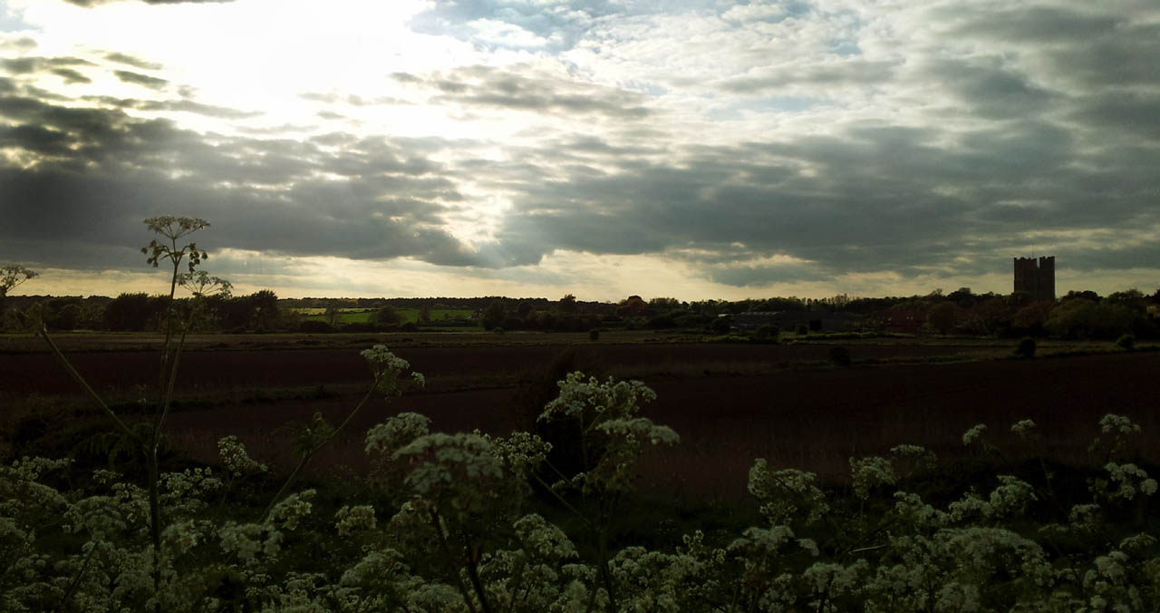
Orford Ness & The River Ore EarthCache
Orford Ness & The River Ore
-
Difficulty:
-

-
Terrain:
-

Size:  (other)
Please note Use of geocaching.com services is subject to the terms and conditions
in our disclaimer.

********** Well Done Frenchboy - FTF on the day after it was published *********
(See below for Dutch Translation) Orfordness has been described as one of the largest of the east coast shingle spreads one of the most important shingle formations on the coast of the British Isles.
Orfordness comprises three elements: a storm beach undergoing erosion in the north, together with some intermittent shingle spreads; an extensive spit in the south where the shoreline is either accreting or being slowly eroded; and linking these, the ness proper. This is a cuspate foreland situated where there is a change in the orientation of the beach from approximately north–south to north-east–south-west.
Between North Weir Point and Shingle Street lies the River Ore, with one or more channels and extensive shoals. These shallow banks are areas of considerable size, which are exposed for at least part of the tidal cycle. They are subject to considerable change, which reflects both the previous environmental conditions and the stage in the development of the spit. Between 1955 and 1970, annual growth of the distal point varied between zero and 88 m. Over the long-term, variability is far greater.
The aim of this Earthcache is to bring some understanding of the Geology of the Area and the affect of the shingle spreads on the landscape. It will involve visting 2 easily accesible spots to observe the landscape and answer 3 Questions.
The Co-ords for this Earthcache are for the Car Park near the Quay as parking is not permitted on the Quay.
Question 1 :
From observing the landscape describe the general direction of drift that has caused the build up of shingle around the Ness and Mouth of the River Ore.
Question 2 (Waypoint 1 - Orford Quay):
There is a small beach to the North of the quay - take a look at this and decribe in detail the type of beach, shapes and size of what you see there.
Question 3 (Waypoint 2 - towards Chantry Point): As you walk along the sea wall estimate the difference between the sea level and level of the marshes.
Once you have the answers to the questions please log your find and send your answers to me - thank you.
Also of possible please post a picture of you on the Orford Quay.
I hope you have enjoyed your visit to Orford and this Earthcache has given you more of an insight into the Geology and landscape of the area.
You will no doubt have noticed strange shaped buildings and large Aerials on the Ness Island which is an indication of it's past use. If you would like to know more about the History of Orfordness including its vital roll in development of Radar before WWII and Cold War Research Programs please refer to the National Trust Website which also gives details of Opening times
********** Thank you to Finding Thistles for Dutch Translation *********
Orfordness staat bekend als een van de grootste van de oostkust grind verspreidt een van de belangrijkste grind formaties aan de kust van de Britse eilanden.
Orfordness bestaat uit drie elementen: een storm strand in het noorden wordt aangetast door erosie, samen met enkele grindverschillen; een uitgestrekte landtong in het zuiden waar de kustlijn samen groeit of langzaam wordt geërodeerd; en deze te verbinden, de Ness Proper (het eigenlijke land). Dit voorland, waar de oriëntatie van het strand varieert van ongeveer noord-zuid naar noord-oost-zuid-west.
Tussen North Weir Point en Shingle Street ligt de rivier Ore, met een of meer kanalen en uitgestrekte oevers. Deze ondiepe banken zijn gebieden van aanzienlijke omvang, die gedurende ten minste een deel van de getijdencyclus worden blootgelegd. Ze zijn onderhevig aan aanzienlijke veranderingen, die zowel de eerdere omgevingscondities als de fase in de ontwikkeling van de landtong weerspiegelen. Tussen 1955 en 1970 varieerde de jaarlijkse groei door de geologische verandering tussen nul en 88 m. Op de lange termijn zal de variatie veel groter zijn.
Het doel van deze Earthcache is om enig begrip te brengen van de geologie van het gebied en de invloed van de grindlaag op het landschap. Het gaat om het bezoeken van 2 gemakkelijk toegankelijke plaatsen om het landschap te observeren en om 3 vragen te beantwoorden.
De coördinaten van deze Earthcache zijn voor het parkeerterrein, aangezien parkeren op de kade niet is toegestaan.
Vraag 1 Van het observeren van het landschap, beschrijf de algemene richting van de stroming die de opeenhoping van grind heeft veroorzaakt rond de Ness en de monding van de rivier de Ore.
Vraag 2 (Waypoint 1 - Orford Quay): Er is een klein strand aan de noordzijde van de kade - bekijk hier eens een detail van en beschrijf in detail het type strand, de vormen en de grootte van wat je daar ziet.
Vraag 3 (Waypoint 2 - richting Chantry Point): Terwijl je langs de zeedijk wandelt, schat je het verschil tussen de zeespiegel en het niveau van de moerassen.
Zodra je de antwoorden op de
hebt kun je de cache loggen en de antwoorden naar mij sturen. Waarvoor mijn dank.
Daarbij waardeer ik het als je een foto van jezelf plaatst op de Orford Quay.
Ik hoop dat je genoten hebt van je bezoek aan Orford en deze Earthcache heeft je meer inzicht gegeven in de geologie en het landschap van het gebied.
U zult ongetwijfeld vreemd gevormde gebouwen en grote antennes op het eiland Ness hebben opgemerkt, wat een indicatie is van het gebruik in het verleden. Als u meer wilt weten over de geschiedenis van Orfordness, inclusief de vitale rol in de ontwikkeling van Radar voor WO II en Koude Oorlog-onderzoeksprogramma's, raadpleegt u de website van het National Trust, die ook informatie geeft over de openingstijden.
Additional Hints
(Decrypt)