Mosor je planina u Dalmaciji. Proteže se uz more, na potezu od Splita do Omiša.
Podrijetlo naziva Mosor ima nekoliko tumačenja:
od fra. mons d'or = zlatna planina;
od ilirskih riječi mol = brdo i sor = izvor;
od lat. naziva Massarum.
Najviši vrh je Veliki Kabal (1339 m), a jedan od posjećenijih vrhova je Vickov stup (1325 m). Na vrhu Sveti Jure (1319 m) nalazi se istoimena rimokatolička kapelica.
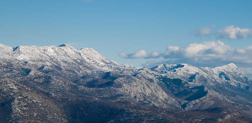
Mosor (Latin: Massarus) is a mountain range in Croatia located near the town of Split on the Adriatic coast. It belongs to Dinaric Alps, and it stretches from the pass of Klis in the northwest to the Cetina River in the southeast.
The highest peak is the eponymous Mosor peak at 1,339 m.a.s.l. There are no inhabited areas on the mountain above 600 metres. Mosor is mainly composed of karst — limestone rocks.
It attracts mountaineers from Croatia. There are two alpine huts and many mountaineering paths on Mosor.