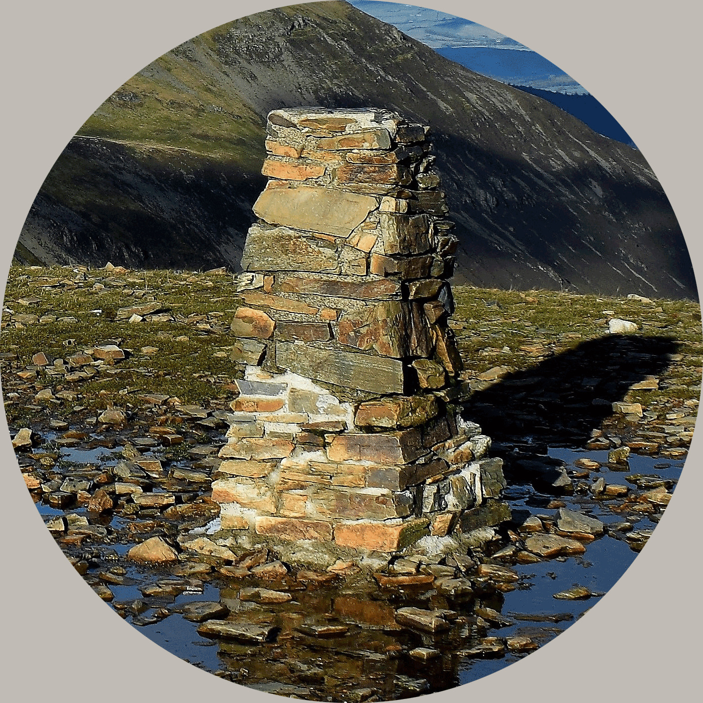
This is the hardest trig point we've found so far and it is only 111m above sea level, you had to negotiate 2 pheasant farms with high fences, deer fences left right and centre, a dun, some mud and lots of cattle, oh and not forgetting some hurray Henry's, good luck
Nowhere suitable to place the cache at the trigpoint, so hence the reason this is a multicache.
The co-ordinates take you to an obvious structure. There are letters and numbers at the bottom. The last four numbers = VWXY.
The co-ordinates for the geocache are:
N 57° 28.(V-1)YX
W 004° 20.(V-4)Y5
About Ye Ole Survey Monuments
|
 |
Ye Ole Survey Monument (YOSM) is a captivating series of caches that pays homage to the remarkable legacy of OutForTheHunt's YSM series (GC45CC).
YOSM caches are strategically positioned at or near Trig Points. These triangulation stations have played a pivotal role as surveying landmarks, contributing to the mapping of expansive territories.
Some of these points, bearing historical significance, might now be situated on private land or have vanished with time. As a result, the caches are artfully placed in close proximity, reverently acknowledging the historical importance of these survey monuments.
|
More information, bookmarks and statistics can be found at the YOSM Website
If anybody would like to expand the Ye Ole Survey Monuments Series, please do.
I would ask that you request a number for your cache first at www.yosm.org.uk
so we can keep track of the numbers and names to avoid duplication.