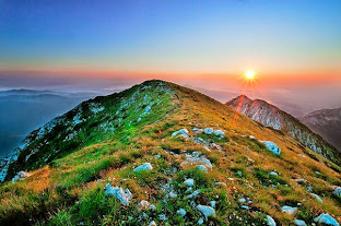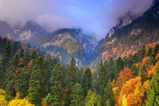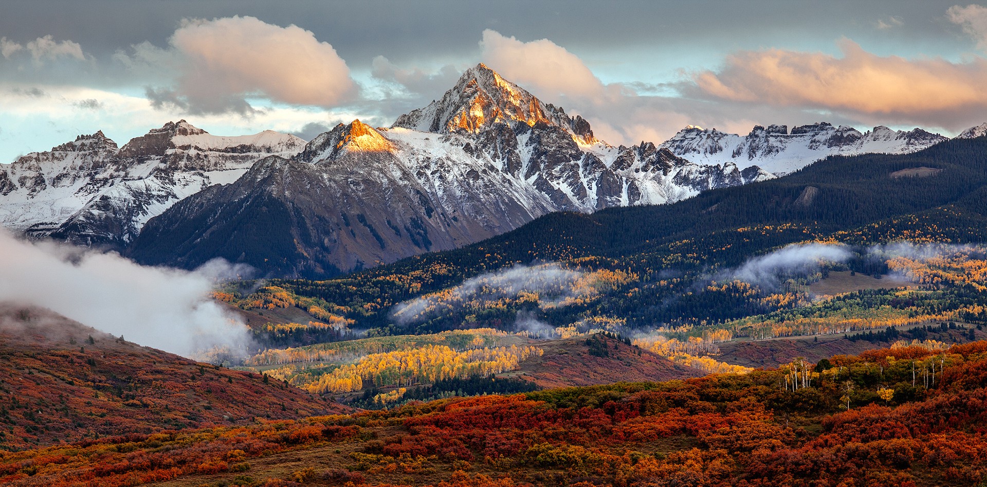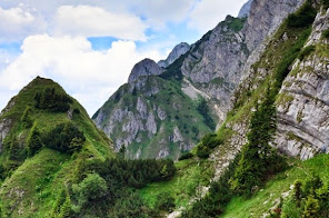
For all the experienced mountaineers out there, for those loving and respecting the mountains, the forces of nature and the spectacular mountain peaks, this mountain-cache trail has been created for you. With a humble and respectful approach to these mountains, but with an unsatiated love for Piatra Craiului Reservation, I welcome you to discover a trail leading to a new and exciting world’s edge.

Ideally, the hiking journey to Pointy Peak (Varful Ascutit) should be attempted over a two day span. As referenced in the parking and additional waypoints of this cache, the starting point of the trail is “Fantana lui Botorog” close to Zarnesti village. The trail unwinds through the forest for about 30 to 45 minutes, then continues for 30 minutes on the plateau before reaching Curmatura Mountain Hut at 1470m altitude.
You can camp or find lodging, food and other amenities at the cabin. Charge you batteries, enjoy the scenery and prepare for the next day steep hike to the Pointy Peak ( Varful Ascutit) and Pointy Peak Refuge/ Carol Lehman Refuge (Refugiul Varful Ascutit) located at 2150m altitude.

The next day, leave early and follow the blue triangle mark from Curmatura cabin allowing yourselves 6 to 8 hours of hiking, resting and enjoying the stunning views, finding the cache and returning to the Curmatura cabin safely.

This mountain-cache trail requires a certain level of physical sharpness and mountain experience. The weather can be unpredictable and it is recommended to look for clear skies. Do not attempt to hike at this altitude when rainy or stormy weather is in sight or is being forecasted. If you encounter bad weather while on the trail, please find shelter in the forest and head back to the cabin. The most dangerous part of the trail is being caught under a thunderstorm or lightning storm on the versant. Not to discourage you, but many, way to many crosses of those who lost their lives hiking to the crest mention two words: lightning stuck.

Please use mountain boots properly protecting your ankles, carry enough water with you, be humble, stay on the trail, and please do not leave your garbage behind (garbage-in-garbage-out). Enjoy this unique mountain cache and have fun hiking in this beautiful natural habitat! Do share your experiences!
