Skip to content

Chum's View (Otago) Traditional Geocache

Hidden : 7/4/2014
Difficulty:
1.5 out of 5
Terrain:
3 out of 5

Size: Size:   regular (regular)

Join now to view geocache location details. It's free!

Watch

How Geocaching Works

Please note Use of geocaching.com services is subject to the terms and conditions in our disclaimer.

Geocache Description:

Put your walking shoes on for a stroll up the hill to this ammo can cache at the highest point on this 1.5 to 2 hour loop trail.


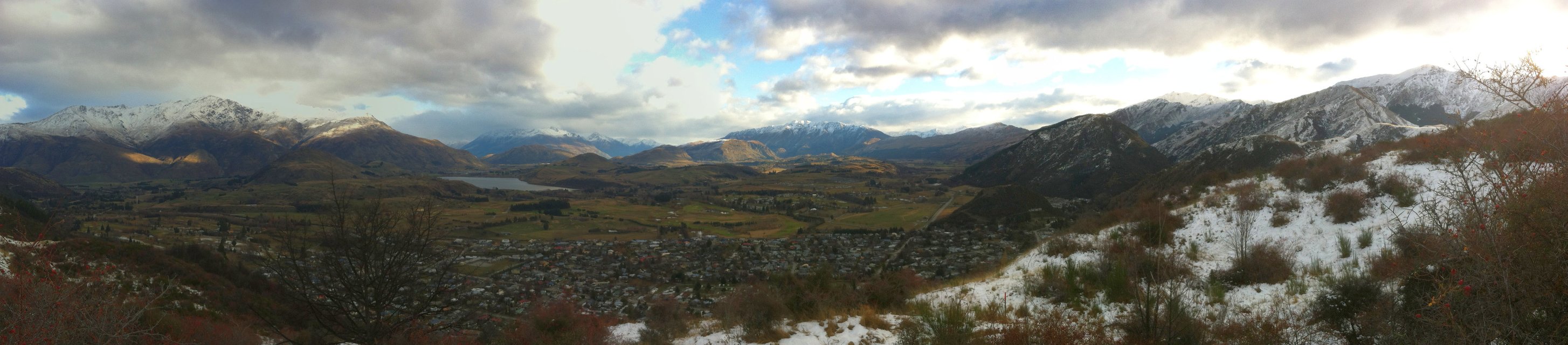
The New Chums Trail takes you on a loop walk from Arrowtown, partway up Tobin's Track (there's a cache there too!) then over the ridge and through Chum's Gully to the Arrow Gorge and back to town.  Don't worry - you can avoid river crossings in the Arrow Gorge by crossing the bridge and following the Pipeline walk on the way back.

Walking the track anti-clockwise (starting at Tobin's Trail) is easy up, steep down.  Clockwise will take you along the Pipeline trail, cross the bridge then a steep ascent up the gully to the top.

If you haven't got time for the full loop track, it's about 30-40 minutes from the parking point to the cache.


gps.org.nz home page For more information about geocaching in New Zealand,
visit the New Zealand Recreational GPS Society

Additional Hints (Decrypt)

Onfr bs Pbavsre, nobhg fvk zrgerf hc bss gur genvy

Decryption Key

A|B|C|D|E|F|G|H|I|J|K|L|M
-------------------------
N|O|P|Q|R|S|T|U|V|W|X|Y|Z

(letter above equals below, and vice versa)