Coastal Erosion is the wearing away of land and removal of beach. Cape May is sandwiched between the Delaware Bay and the Atlantic Ocean, thus erosion will happen even more because you have the wave currents from the ocean and currents from the bay. We can't see the waves moving sediments and sand, but we can track the current with the help of technology and we can see the progression of beach erosion in photos and especially when a hurricane hits. In 1903 erosion began to accelerate, and in order to preserve and protect the national historical town, muck and sand was scooped out of the harbor to expand the beach area to 500 acres, eight year later two massive stone jetties were built to protect the mouth of the inlet in Cape May. Jetties are long narrow structures that protect the coastline from currents and tides, the act like a barrier and help protect Cape May from washing away.
Durning WWII, The U.S Army Corps. of Engineers decided to lengthen the jetties farther into the ocean to protect the harbor from western side attacks, today the jetties extend 4,500 feet into the ocean. The Jetties play a small part in reducing Beach erosion. In 1980s beachgoers where in demand of more beach, so The Corps. of Engineers created a long-term beach nourishment plan that would persevere multiple wildlife areas and increase the beach area, the long term plan was from 1991 to 2004, with over 3 million cubic yards of sand was dredged from offshore. Without this beach nourishment, Cape May would not be the town that it is today.
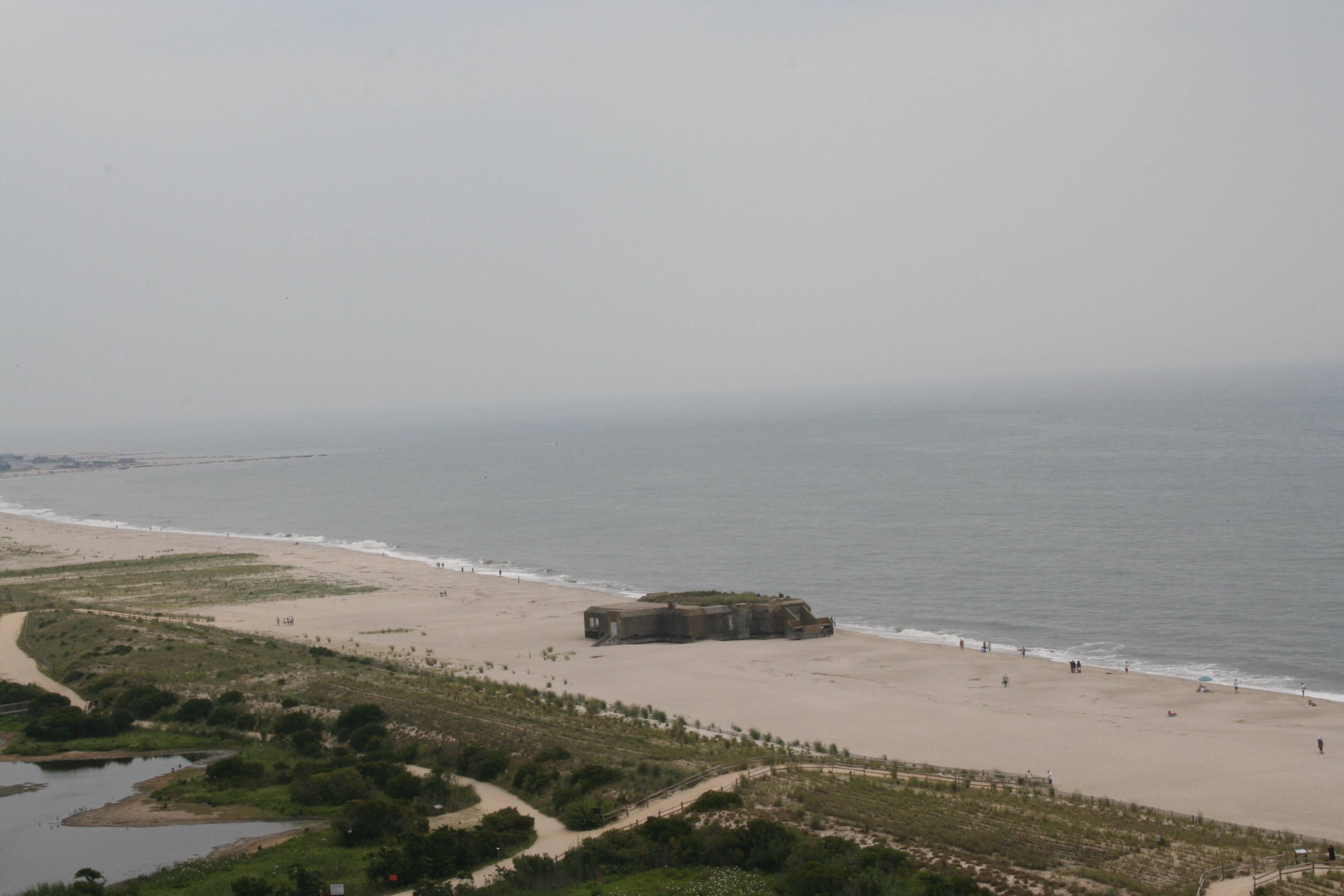
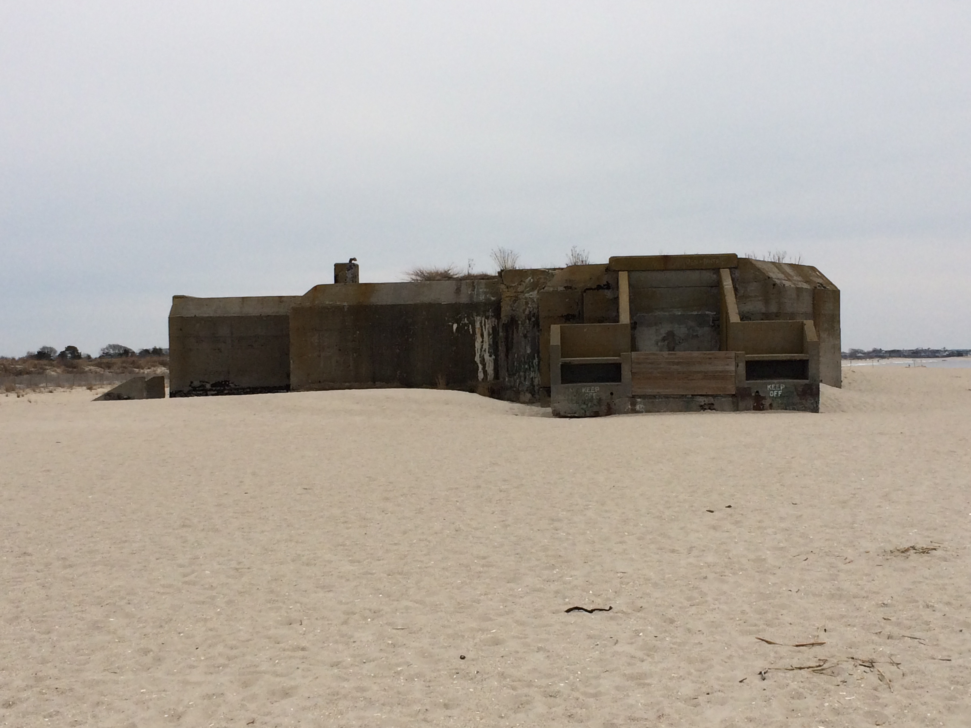
The Cape May bunker is a good example of costal erosion, the bunker was originally 900 feet inland, but with coast erosion it as moved.

(Above)This photo was prior to the recent hurricane, as you can see the bunker is close to the water.
(Below) This is a photo of the bunker in 2014, you can see to the right that there is more beach when compared to photos before the hurricane hit. (All photos where taken by me)

In order for you to earn your smiley you must complete the following.
Optional but highly suggested 1. Post a photo of yourself or gps or personal travel bug with you log, the photo must have the Cape May bunker or a jetty in the background.
2. In you log, tell us the how violent the waves are hitting a jetty near by.
3. Do you think that erioson has an impact on the Cape May area, explain your answer.
4. Be sure to put on sunscreen you don't want a sunburn!
5. Enjoy you time in Cape May !