In May and June of 1765, Charles Mason and Jeremiah Dixon surveyed and marked this section of the border between Maryland and Delaware. (At the time, Delaware was considered the "three lower counties" of Pennsylvania). The DE-MD border in this area is not a straight line, but is in fact an arc(1).

Mason and Dixon surveyed the "Tangent line" south of here in 1764, then did some work on the east-west line between Maryland and Pennsylvania. They returned to Newark in May 1765, and proceeded to work north along the Arc Line from the "Tangent Stone" placed at the intersection of the Tangent Line and the Arc Line. (The Tangent Stone still stands in the Stonegate community across the street.) During this time, the surveyor's base of operations was the Saint Patrick's Tavern, on the site of the current Deer Park Tavern in Newark(2).
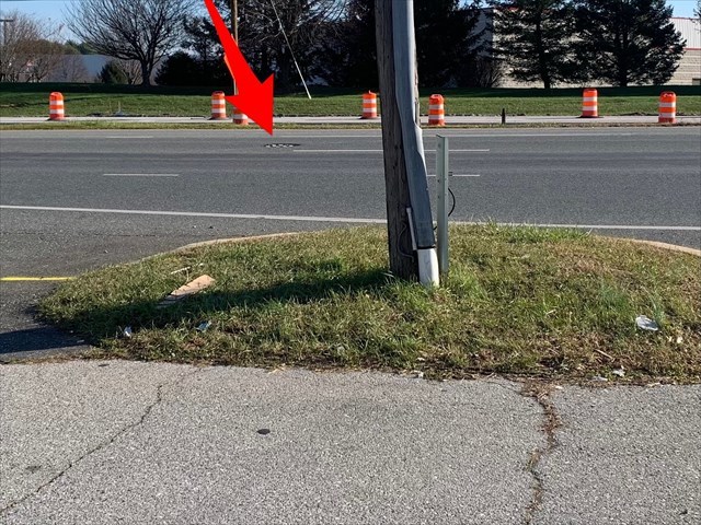
The first stone they placed during this period was "Arc Stone 1", which is currently located under the manhole cover in the middle of Newark-Elkton Road, about 50 feet east of the cache location. The stone is inaccessible. But it exists. I've seen it.
A photo of the Arc Stone taken in 2010:

In 1765, there was no road here. By 1898, there was an unimproved county road. Between 1915 and 1924, the road was paved as a State Highway, then improved between 1963 and 1967 with the construction of Interstate 95. The road was widened in 1983(3). At some point, most likely in the 1960's, the stone marker was reset in an underground chamber, below traffic. The chamber is about 4.5 to 5 feet deep, and contains the rough stone obelisk, 2.5 feet high.
There is a USGS Map showing the Arc Stone 1 location.
The secret chamber location.
The cache is a small container with a screw top, and contains a log and a pencil. The cache was placed with the permission of the business owner, but please use stealth.
More photos can be found at the Benchmark JU4144 site.
Congrats to Shorttrip for the FTF!
A photo during 2012 road construction:
